MyTopo
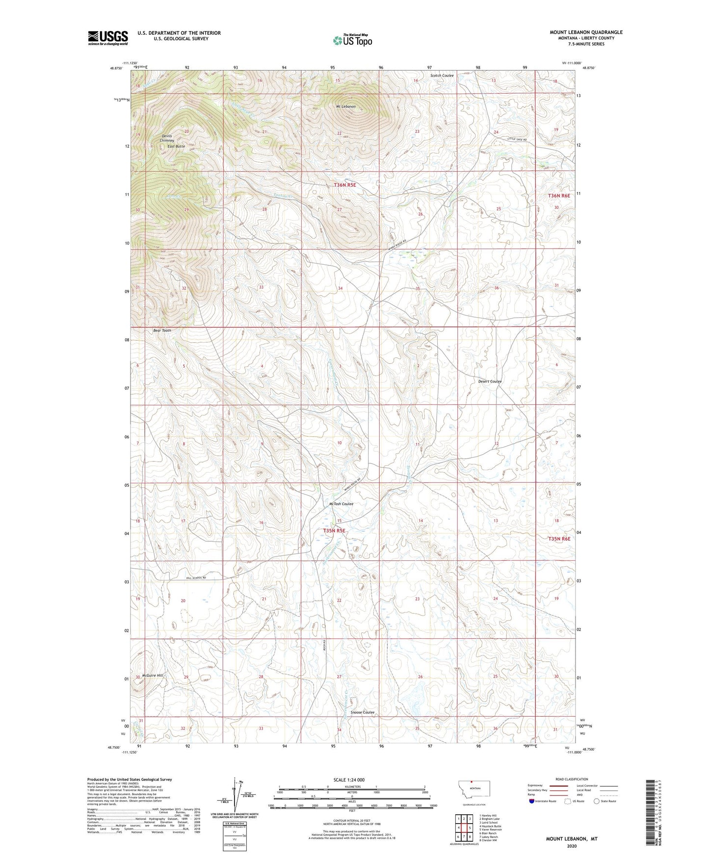
Mount Lebanon Montana US Topo Map
Couldn't load pickup availability
2024 topographic map quadrangle Mount Lebanon in the state of Montana. Scale: 1:24000. Based on the newly updated USGS 7.5' US Topo map series, this map is in the following counties: Liberty. The map contains contour data, water features, and other items you are used to seeing on USGS maps, but also has updated roads and other features. This is the next generation of topographic maps. Printed on high-quality waterproof paper with UV fade-resistant inks.
Quads adjacent to this one:
West: Haystack Butte
Northwest: Hawley Hill
North: Bingham Lake
Northeast: Laird School
East: Vaver Reservoir
Southeast: Chester NW
South: Lakey Ranch
Southwest: Blair Ranch
This map covers the same area as the classic USGS quad with code o48111g1.
Contains the following named places: 35N05E15CAAC01 Well, 35N05E20BACC01 Well, Bear Tooth, Devils Chimney, East Butte, Iron Creek, McGuire Hill, McTosh Coulee, Meissner Dam, Mount Lebanon, Roke Ranch, Snoose Coulee, Tiber Quarry, Tootsie Creek, Tootsie Creek Number 1 Mine, Tootsie Creek Number 2 Mine