MyTopo
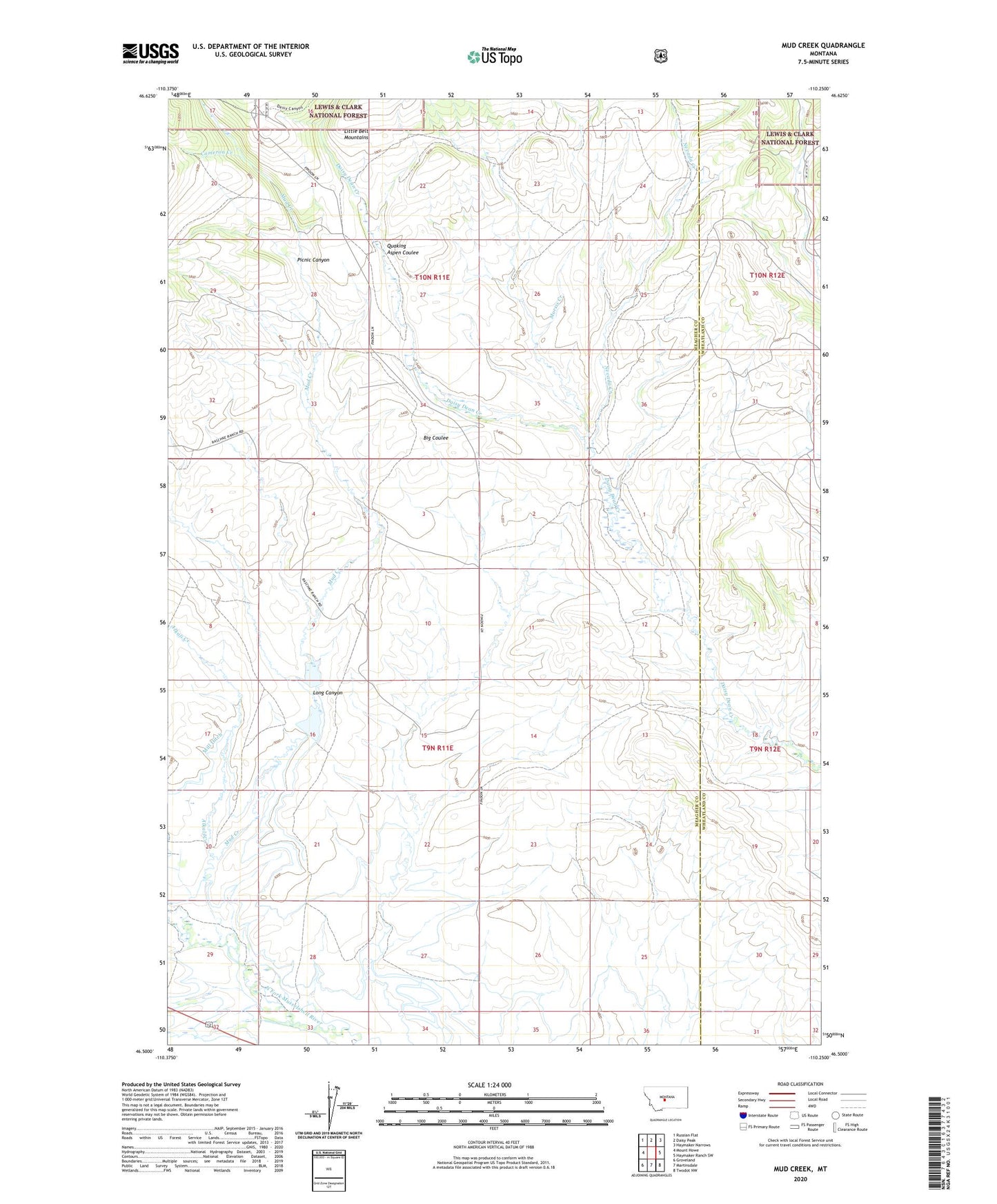
Mud Creek Montana US Topo Map
Couldn't load pickup availability
Also explore the Mud Creek Forest Service Topo of this same quad for updated USFS data
2024 topographic map quadrangle Mud Creek in the state of Montana. Scale: 1:24000. Based on the newly updated USGS 7.5' US Topo map series, this map is in the following counties: Meagher, Wheatland. The map contains contour data, water features, and other items you are used to seeing on USGS maps, but also has updated roads and other features. This is the next generation of topographic maps. Printed on high-quality waterproof paper with UV fade-resistant inks.
Quads adjacent to this one:
West: Mount Howe
Northwest: Russian Flat
North: Daisy Peak
Northeast: Haymaker Narrows
East: Haymaker Ranch SW
Southeast: Twodot NW
South: Martinsdale
Southwest: Groveland
This map covers the same area as the classic USGS quad with code o46110e3.
Contains the following named places: 10N11E28B___01 Well, 10N11E28C___01 Well, 10N12E30CBBA01 Well, Alkali Creek, Cameron Creek, Fifty Dollar Bill Dam, Findon, Findon Post Office, Findon School, Hundred Dollar Bill Dam, Long Canyon, Morris Creek, Mud Creek, Nevada Creek, Picnic Canyon, Quaking Aspen Coulee