MyTopo
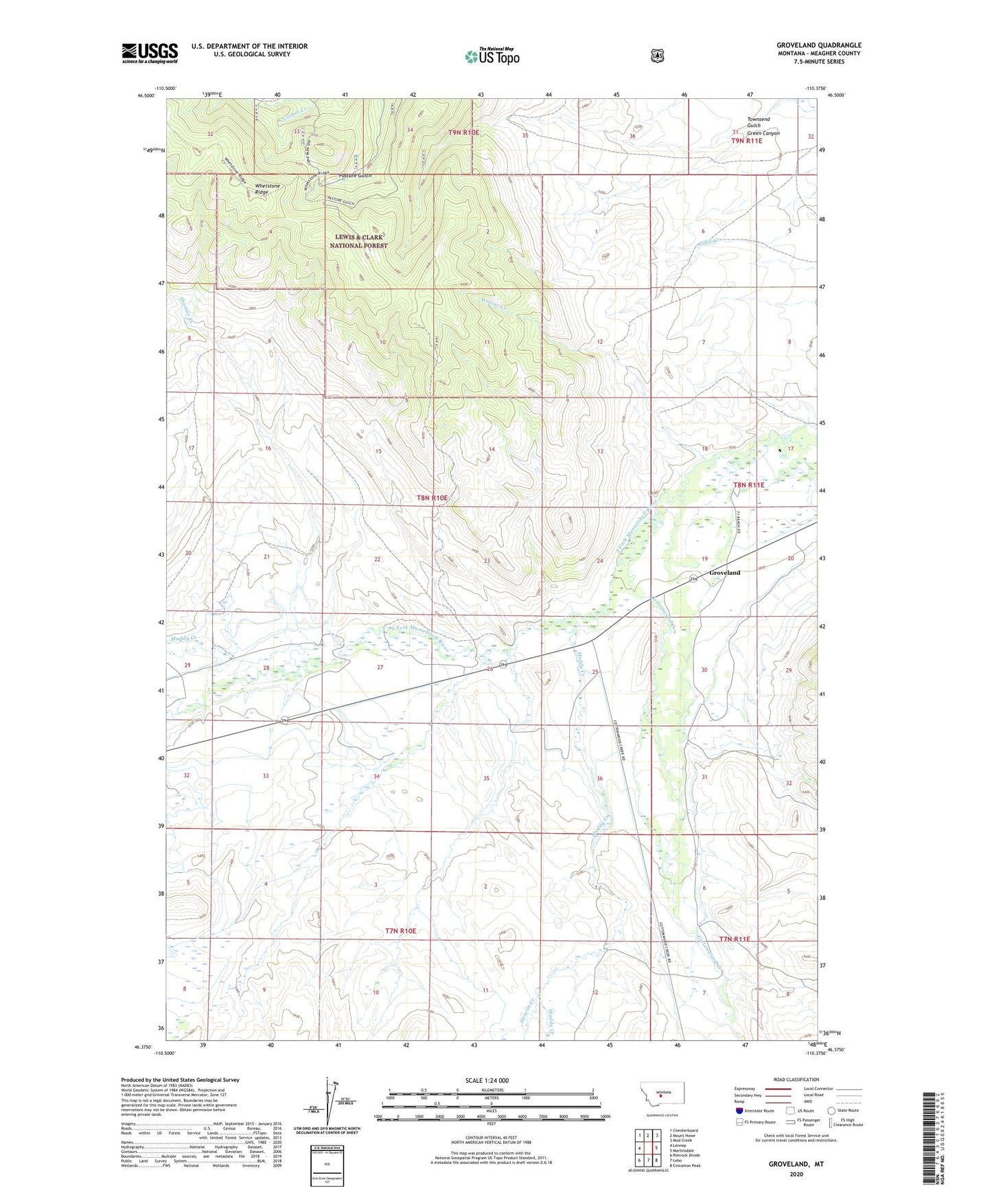
Groveland Montana US Topo Map
Couldn't load pickup availability
Also explore the Groveland Forest Service Topo of this same quad for updated USFS data
2024 topographic map quadrangle Groveland in the state of Montana. Scale: 1:24000. Based on the newly updated USGS 7.5' US Topo map series, this map is in the following counties: Meagher. The map contains contour data, water features, and other items you are used to seeing on USGS maps, but also has updated roads and other features. This is the next generation of topographic maps. Printed on high-quality waterproof paper with UV fade-resistant inks.
Quads adjacent to this one:
West: Lennep
Northwest: Checkerboard
North: Mount Howe
Northeast: Mud Creek
East: Martinsdale
Southeast: Cinnamon Peak
South: Lebo
Southwest: Rimrock Divide
This map covers the same area as the classic USGS quad with code o46110d4.
Contains the following named places: Cottonwood Creek, Green Canyon, Groveland, Hereim Creek, Muddy Creek, Seventyone Ranch, Thomas Creek, Townsend Gulch, Voldseth East Dam, Whetstone Ridge, Willow Creek, ZIP Code: 59053