MyTopo
Negro Hollow Montana US Topo Map
Couldn't load pickup availability
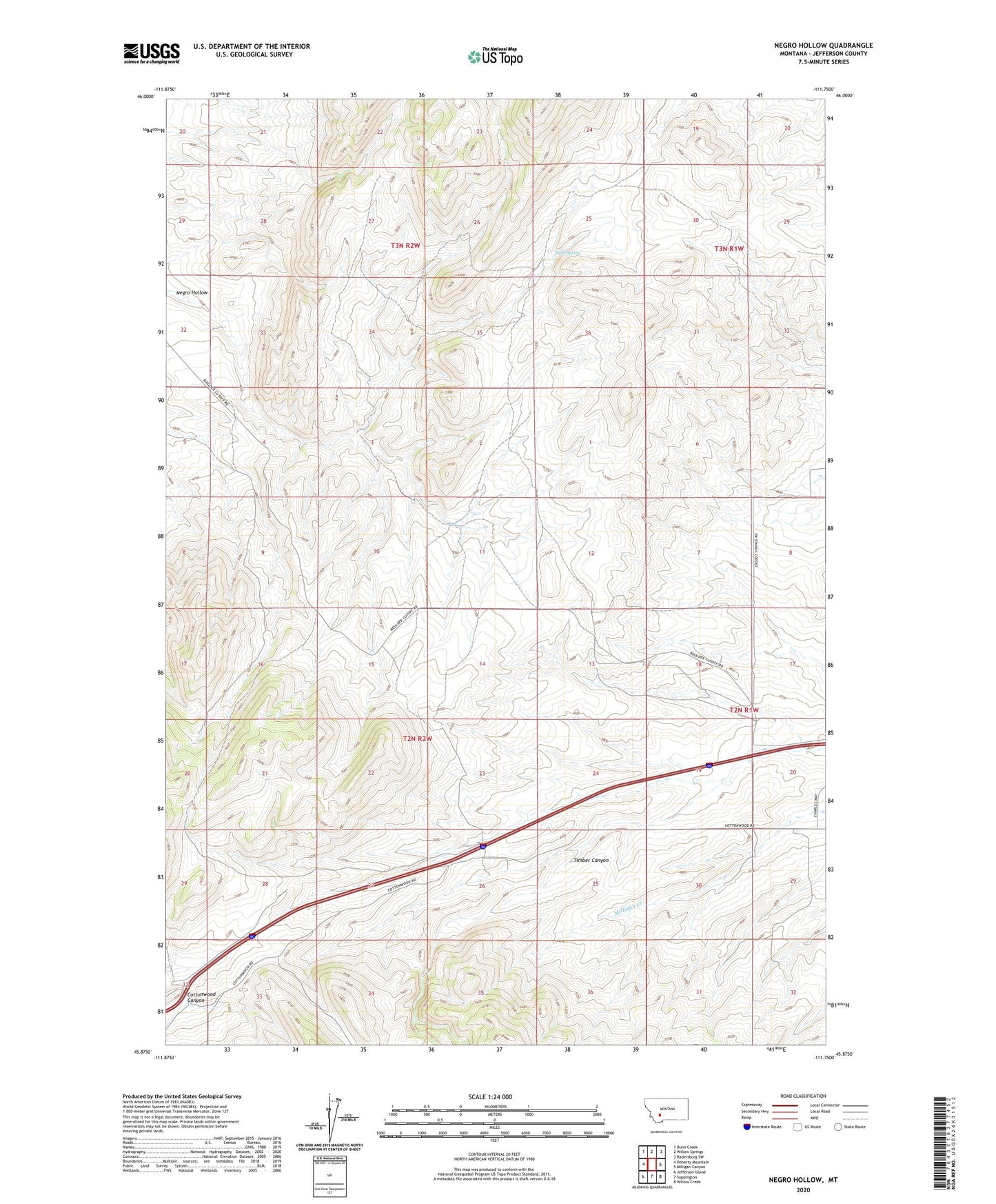
2020 topographic map quadrangle Negro Hollow in the state of Montana. Scale: 1:24000. Based on the newly updated USGS 7.5' US Topo map series, this map is in the following counties: Jefferson. The map contains contour data, water features, and other items you are used to seeing on USGS maps, but also has updated roads and other features. This is the next generation of topographic maps. Printed on high-quality waterproof paper with UV fade-resistant inks.
Quads adjacent to this one:
West: Doherty Mountain
Northwest: Dunn Creek
North: Willow Springs
Northeast: Radersburg SW
East: Milligan Canyon
Southeast: Willow Creek
South: Sappington
Southwest: Jefferson Island
Contains the following named places: 02N02W26ACCA01 Well, 59721, A Shanholtzer Ranch, Ballard Ranch, Brenner Ranch, Eureka School, G Ballard Ranch, Hager Ranch, Heule Ranch, Murphy Ranch, Negro Hollow, O Shanholtzer Ranch, Raffety Ranch, Rock Spring, Thompson Ranch, Timber Canyon, Tribble Ranch, Watson Ranch