MyTopo
Pass Creek West Montana US Topo Map
Couldn't load pickup availability
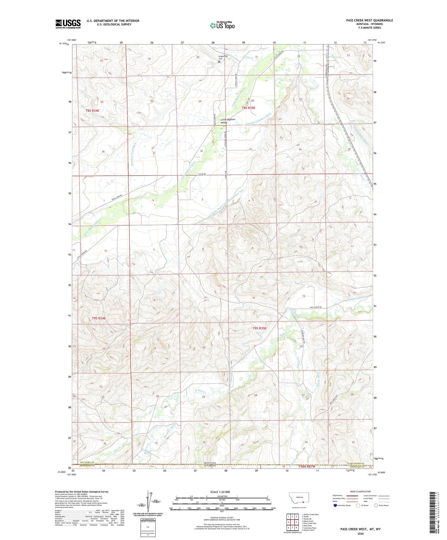
2020 topographic map quadrangle Pass Creek West in the state of Montana. Scale: 1:24000. Based on the newly updated USGS 7.5' US Topo map series, this map is in the following counties: Big Horn, Sheridan. The map contains contour data, water features, and other items you are used to seeing on USGS maps, but also has updated roads and other features. This is the next generation of topographic maps. Printed on high-quality waterproof paper with UV fade-resistant inks.
Quads adjacent to this one:
West: Black Gulch
Northwest: Willow Creek Dam
North: Wyola
Northeast: Wyola NE
East: Pass Creek East
Southeast: Dayton North
South: Columbus Peak
Southwest: West Pass
Contains the following named places: 08S35E22CBBB01 Well, 08S35E22CBBC01 Well, 08S35E23CBAA01 Well, 08S35E23CBCB01 Well, 08S35E26CDBB01 Well, 08S35E27AABC01 Well, 08S35E28ABAC01 Well, 08S35E28BDDD01 Well, 08S35E29DCAD01 Well, 08S35E32ABD_01 Well, 08S35E32ADDA01 Well, 08S35E32CADA01 Well, 08S35E32CDCB01 Well, 08S35E35ABCC01 Well, 09S34E01CDBB01 Well, 09S34E12ABBA01 Well, 09S34E12BCBB01 Well, 09S35E04BBBA01 Well, 09S35E04BBBB01 Well, 09S35E06CBDD01 Well, 09S35E21DBCA01 Well, 09S35E27BDAA01 Well, 09S35E31CAAB01 Well, Bozeman Trail Ditch, Brightwing Cemetery, Campbell Belken Ditch, Crazy Creek, East Pass Creek, Gay Creek, Hardy Ditch, Pass Creek School, Resettlement FSA Number 1 Dam, Stevens Ditch, Upper Little Bighorn Canal Number Two, West Pass Creek, Woodley Ditch