MyTopo
Pennock Creek Montana US Topo Map
Couldn't load pickup availability
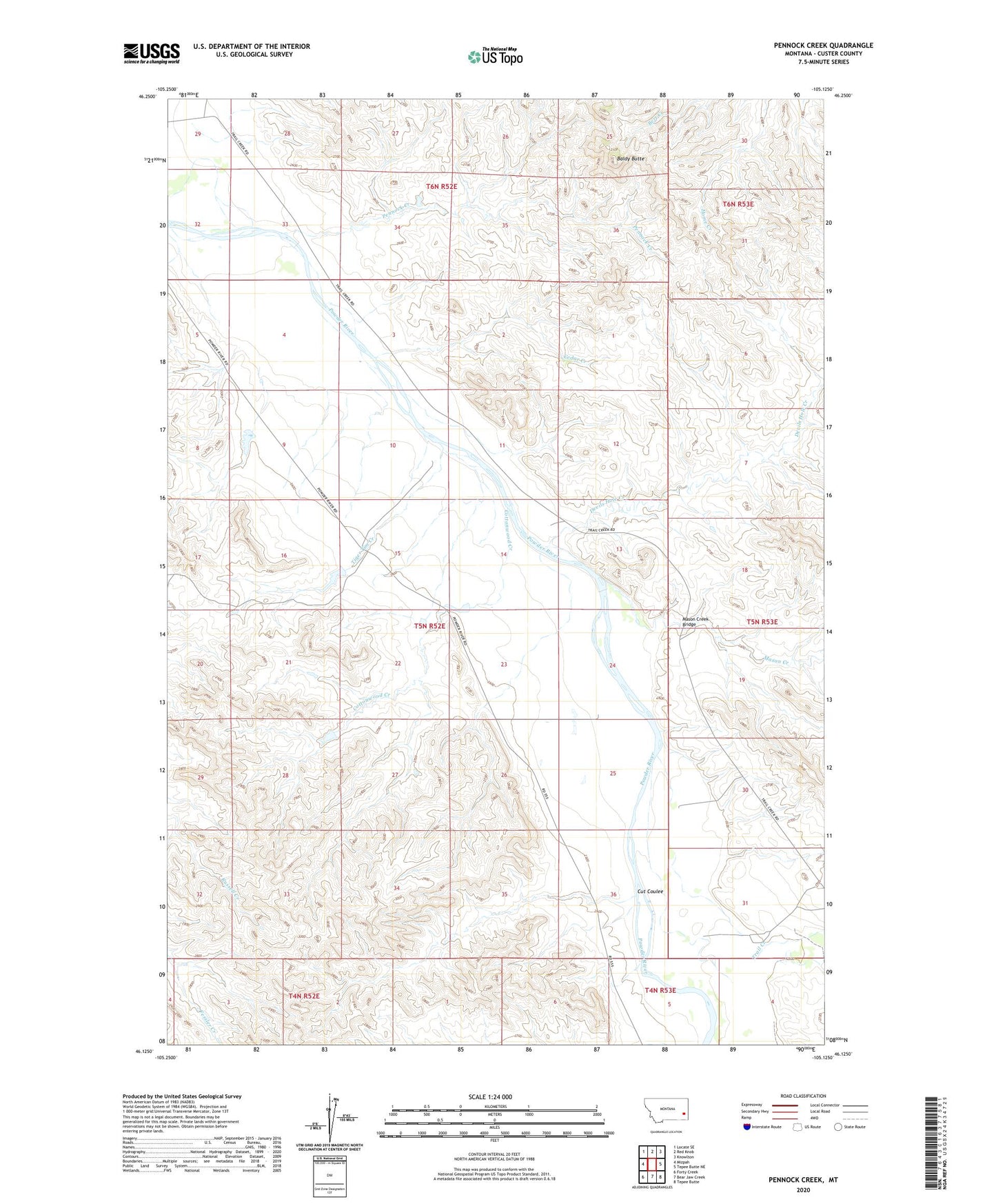
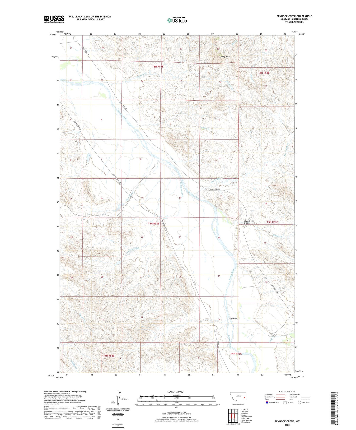
2020 topographic map quadrangle Pennock Creek in the state of Montana. Scale: 1:24000. Based on the newly updated USGS 7.5' US Topo map series, this map is in the following counties: Custer. The map contains contour data, water features, and other items you are used to seeing on USGS maps, but also has updated roads and other features. This is the next generation of topographic maps. Printed on high-quality waterproof paper with UV fade-resistant inks.
Quads adjacent to this one:
West: Mizpah
Northwest: Locate SE
North: Red Knob
Northeast: Knowlton
East: Tepee Butte NE
Southeast: Tepee Butte
South: Bear Jaw Creek
Southwest: Forty Creek
Contains the following named places: 04N53E04DCBB01 Well, 05N52E04BCCC01 Well, 05N52E14ADAA01 Well, 05N52E17ABAC01 Well, 05N52E22AD__01 Well, 05N52E24AACD01 Well, 05N52E27DB__01 Well, 05N52E30CBCA01 Well, 05N53E04CAAC01 Well, 05N53E07BCCA01 Well, 05N53E18CDCC01 Well, 05N53E31BBCA01 Well, 05N53E31DDBB01 Well, 05N53E31DDBB02 Well, Baldy Butte, Balsam Number 4 Dam, Balsam Number 6 Dam, Cedar Creek, Cotton Dam, Cottonwood Creek, Cut Coulee, Devils Hole Creek, Discord Post Office, Kimball Creek, Mason Creek, Mason Creek Bridge, Oneill, Oneill Post Office, Pennock Creek, Tiger Tim Creek, Trail Creek, Trail Creek School