MyTopo
Potato Lakes Montana US Topo Map
Couldn't load pickup availability
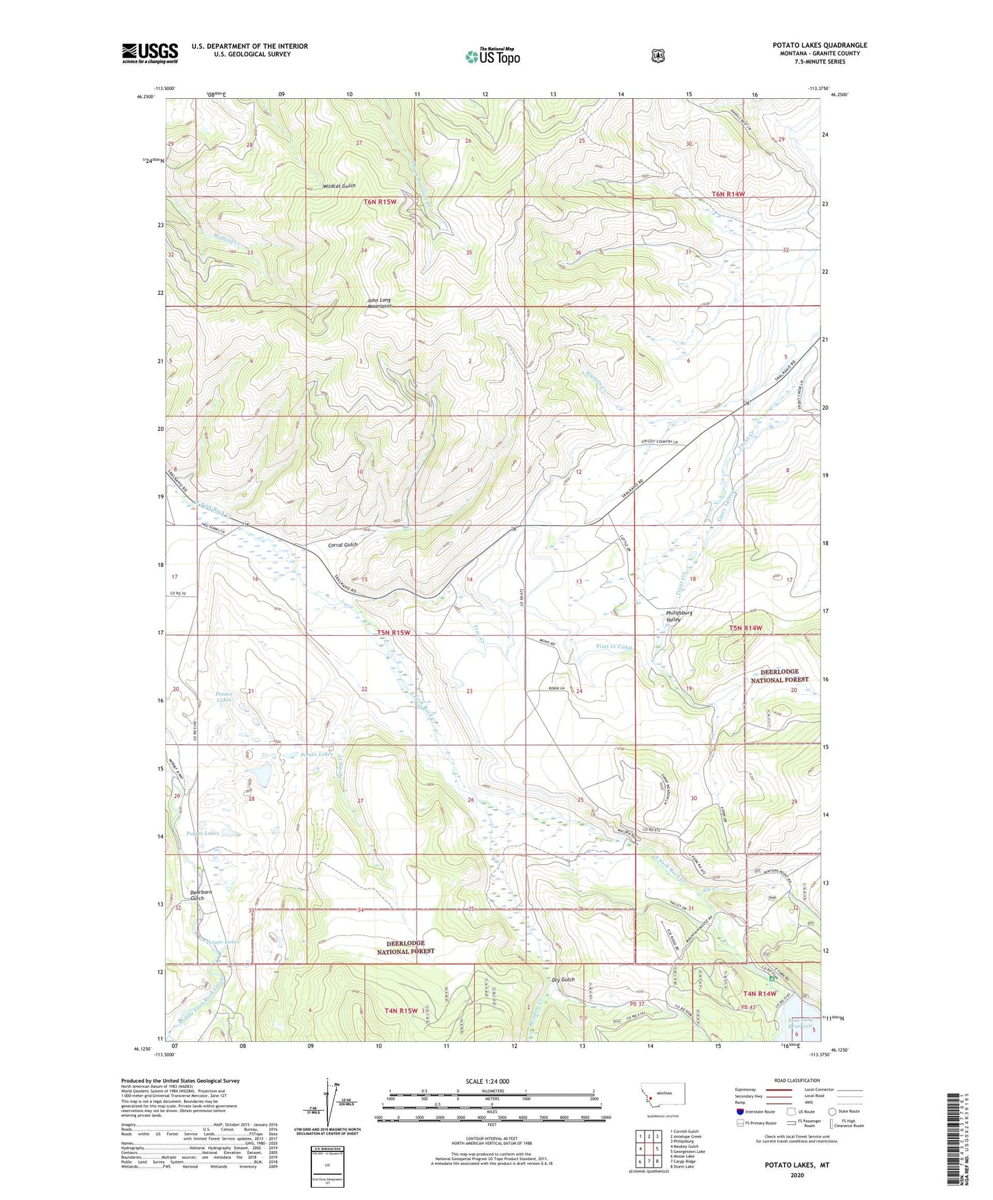
2020 topographic map quadrangle Potato Lakes in the state of Montana. Scale: 1:24000. Based on the newly updated USGS 7.5' US Topo map series, this map is in the following counties: Granite. The map contains contour data, water features, and other items you are used to seeing on USGS maps, but also has updated roads and other features. This is the next generation of topographic maps. Printed on high-quality waterproof paper with UV fade-resistant inks.
Quads adjacent to this one:
West: Maukey Gulch
Northwest: Cornish Gulch
North: Antelope Creek
Northeast: Philipsburg
East: Georgetown Lake
Southeast: Storm Lake
South: Carpp Ridge
Southwest: Moose Lake
Contains the following named places: Ant Mine, Carey Lateral, Corral Gulch, Dearborn Gulch, Dry Gulch, East Fork Campground, Elk Creek, Flint Creek Canal, Meadow Creek, Potato Lakes, Spillway Campground, Spring Creek, Trail Creek, Wilma Post Office, Wyman Creek