MyTopo
Quick Reservoir Montana US Topo Map
Couldn't load pickup availability
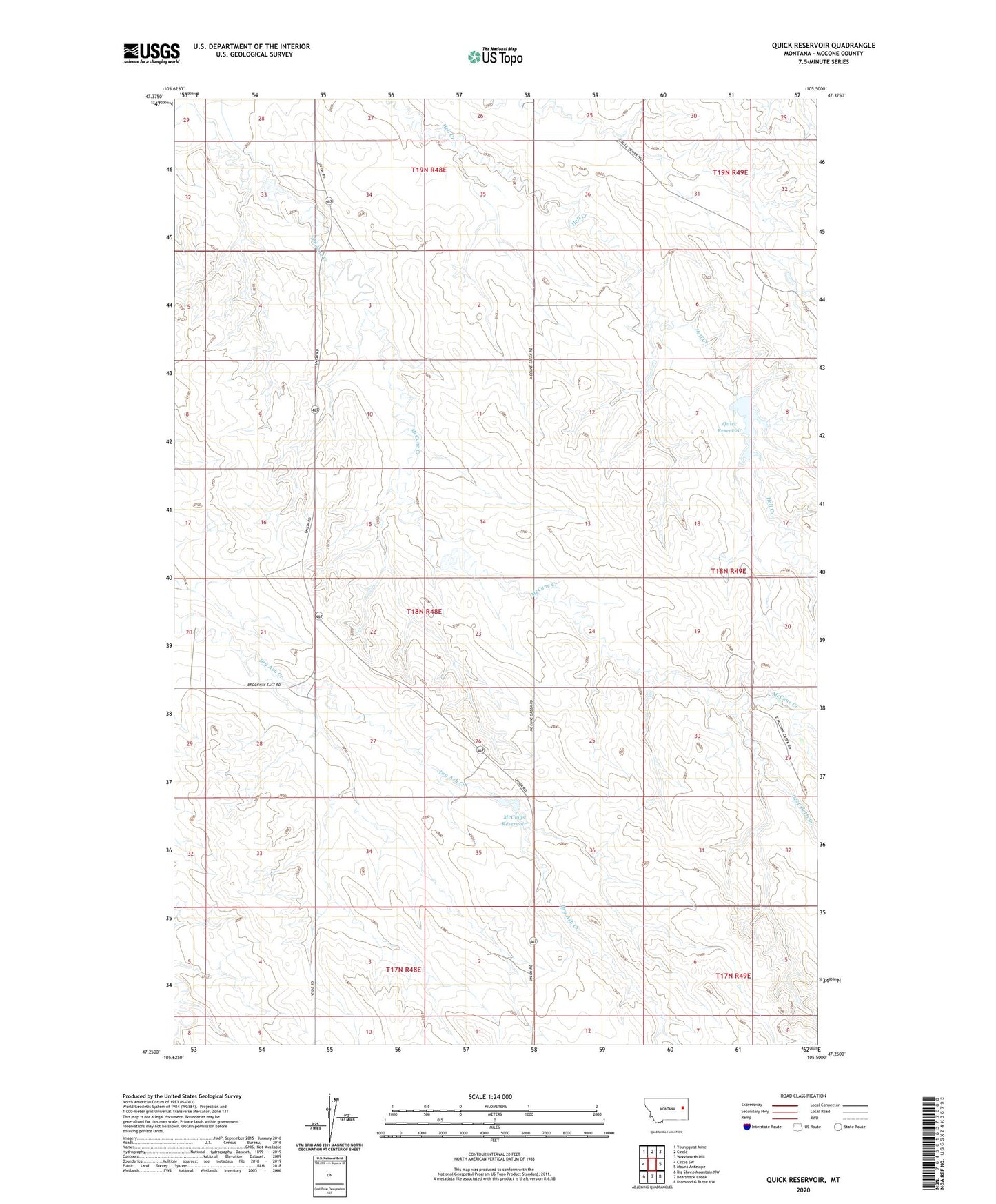
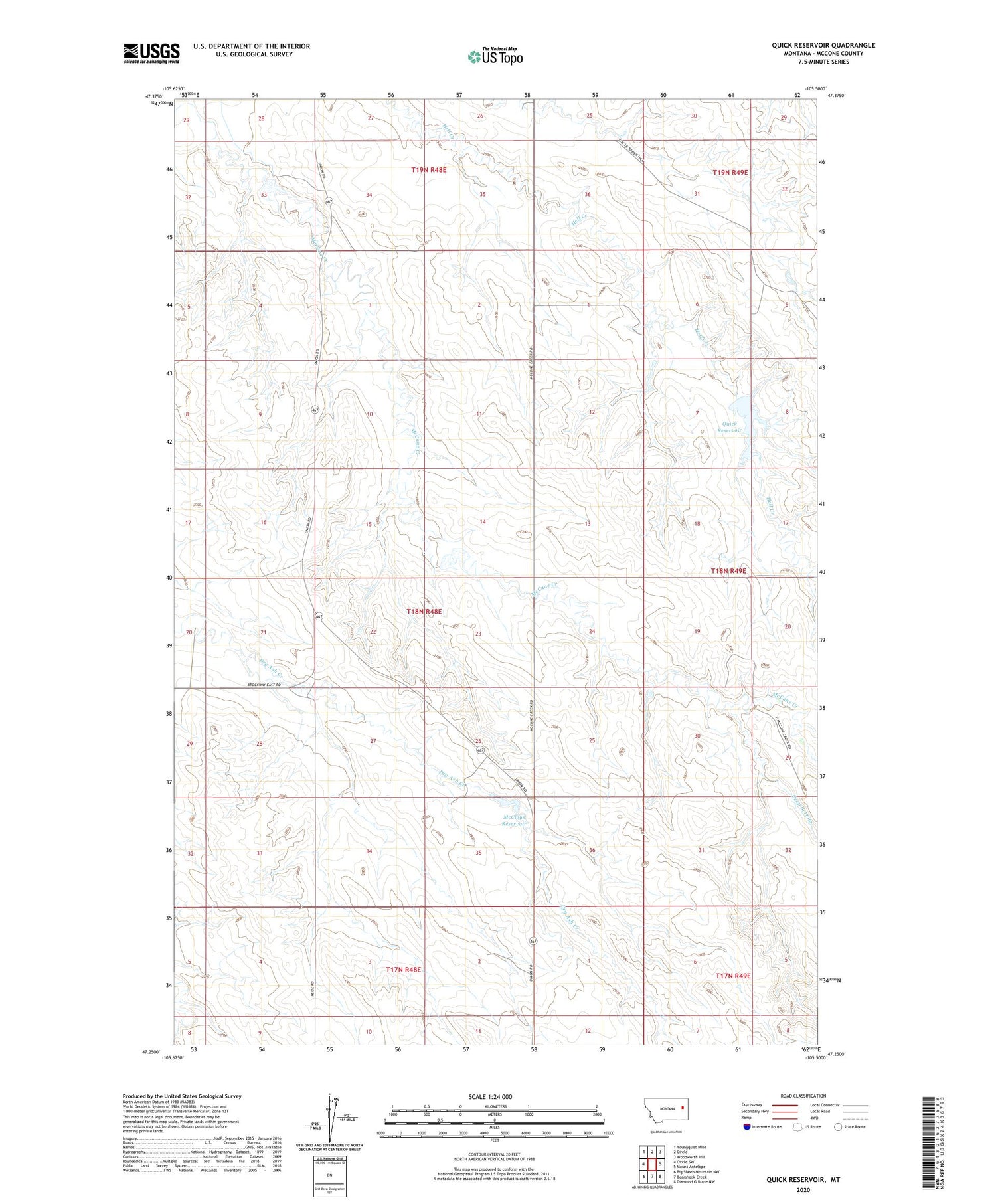
2020 topographic map quadrangle Quick Reservoir in the state of Montana. Scale: 1:24000. Based on the newly updated USGS 7.5' US Topo map series, this map is in the following counties: McCone. The map contains contour data, water features, and other items you are used to seeing on USGS maps, but also has updated roads and other features. This is the next generation of topographic maps. Printed on high-quality waterproof paper with UV fade-resistant inks.
Quads adjacent to this one:
West: Circle SW
Northwest: Youngquist Mine
North: Circle
Northeast: Woodworth Hill
East: Mount Antelope
Southeast: Diamond G Butte NW
South: Bearshack Creek
Southwest: Big Sheep Mountain NW
Contains the following named places: 18N48E14CBBA01 Well, 18N48E26DDBA01 Well, 19N48E33ACBC01 Well, 19N48E34DBAA01 Well, 19N48E34DBAD01 Well, Deep Bottom, Floyd Quick Number 1 Dam, Hilstad Dam, McCloys Reservoir, Quick Reservoir, R McCloy Dam