MyTopo
Youngquist Mine Montana US Topo Map
Couldn't load pickup availability
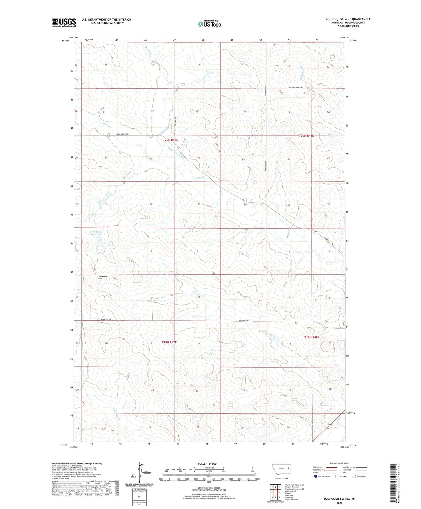
2024 topographic map quadrangle Youngquist Mine in the state of Montana. Scale: 1:24000. Based on the newly updated USGS 7.5' US Topo map series, this map is in the following counties: McCone. The map contains contour data, water features, and other items you are used to seeing on USGS maps, but also has updated roads and other features. This is the next generation of topographic maps. Printed on high-quality waterproof paper with UV fade-resistant inks.
Quads adjacent to this one:
West: Brockway NE
Northwest: North Fork Horse Creek
North: Haynie Reservoir
Northeast: Hudiburgh Reservoir SE
East: Circle
Southeast: Quick Reservoir
South: Circle SW
Southwest: Brockway
This map covers the same area as the classic USGS quad with code o47105d6.
Contains the following named places: 19N47E01ABAD01 Well, 19N47E02ADBB01 Well, 19N47E02ADBB02 Well, 19N47E10ACDC01 Well, 19N47E10DBBA01 Well, 19N47E10DBBD01 Well, 19N47E11DDDD01 Well, 19N47E13ABBA01 Well, 19N47E13DDCB01 Well, 19N47E14BAAA01 Well, 19N47E14BAAA02 Well, 19N47E14DDBB01 Well, 19N47E20ADDC01 Well, 19N47E20ADDC02 Well, 19N47E21CDBD01 Well, 19N47E28BCBC01 Well, 19N48E08BBCA01 Well, 19N48E17BAAD01 Well, 19N48E19AADD01 Well, 19N48E19DCBA01 Well, 20N47E24DCD_01 Well, 20N47E36ADDD01 Well, 20N48E20BACD01 Well, 20N48E20CDCD01 Well, Denwoody Creek, Groh Dam, Groh Number 1 Dam, Groh Stock Dam, Groh Stock Reservoir, Pawlowski Dam, Reinemer Dam, Youngquist Mine