MyTopo
Circle Montana US Topo Map
Couldn't load pickup availability
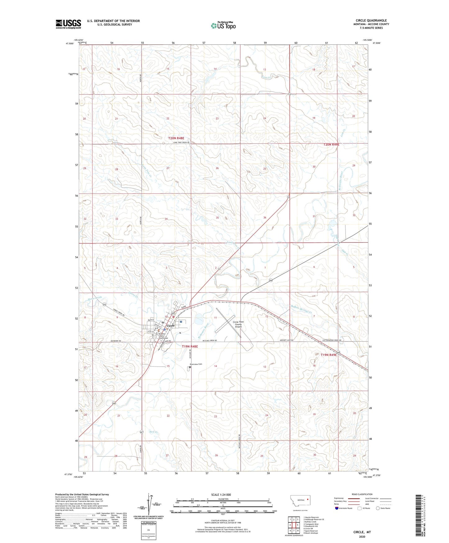
2024 topographic map quadrangle Circle in the state of Montana. Scale: 1:24000. Based on the newly updated USGS 7.5' US Topo map series, this map is in the following counties: McCone. The map contains contour data, water features, and other items you are used to seeing on USGS maps, but also has updated roads and other features. This is the next generation of topographic maps. Printed on high-quality waterproof paper with UV fade-resistant inks.
Quads adjacent to this one:
West: Youngquist Mine
Northwest: Haynie Reservoir
North: Hudiburgh Reservoir SE
Northeast: Buffalo Creek
East: Woodworth Hill
Southeast: Mount Antelope
South: Quick Reservoir
Southwest: Circle SW
This map covers the same area as the classic USGS quad with code o47105d5.
Contains the following named places: 19N48E02CBAA01 Well, 19N48E02CBDA01 Well, 19N48E10BBCC01 Well, 19N48E10CADC01 Well, 19N48E10CCCD01 Well, 19N48E10CDAD01 Well, 19N48E10DACA01 Well, 19N48E11BC__01 Well, 19N48E11CBDC01 Well, 19N48E12BAAA01 Well, 19N48E12BAAB01 Well, 19N48E12CCDC01 Well, 19N48E12DABC01 Well, 19N48E12DCCA01 Well, 19N48E15BDDC01 Well, 19N48E15DBBB01 Well, 19N48E16DDDB01 Well, 19N48E20DDCD01 Well, 19N48E20DDDC01 Well, 19N48E20DDDC02 Well, 19N48E28BCBB01 Well, 19N48E28BCBC01 Well, 20N48E15BAAC01 Well, 20N48E22CCCD01 Well, 20N48E28DCBD01 Well, 20N48E28DCBD02 Well, 20N48E28DDCA01 Well, 20N48E36BAAB01 Well, 20N48E36BCDD01 Well, 20N49E18CCCD01 Well, 20N49E18CCDC01 Well, 20N49E30DAA_01 Well, 20N49E30DADB01 Well, 20N49E32BCBC01 Well, 20N49E32CBAC01 Well, 22N48E22CCCD01 Well, Ben Larson Park, Bo Peep Elementary School, Buffalo Springs Creek, Circle, Circle High School, Circle Historical Marker, Circle Park, Circle Police Department, Circle Post Office, Circle Town County Airport, Circle Trailer Court, Clara Dam, Evangelical Church of North America, Faith Assembly of God Church, Farmers Elevator, Farmers Union Elevator, First Baptist Church, First Lutheran Church, George McCone Memorial County Library, Gyp Creek, Hell Creek, Horse Creek, Lone Tree Creek, McCone County Courthouse, McCone County Fairgrounds, McCone County Medical Center, McCone County Museum, McCone County Nursing Home, McCone County Sheriff's Office, McCone County Volunteer Fire Department, Peavey Elevator, Redwater School, Redwater Valley Ambulance Service, Riverview Cemetery, Saint Francis Xaviers Catholic Church, Salem Lutheran Wisconsin Synod, Scheers Trailer Court, Stephensons Trailer Court, Town of Circle, United Christian Church