MyTopo
Rothiemay Montana US Topo Map
Couldn't load pickup availability
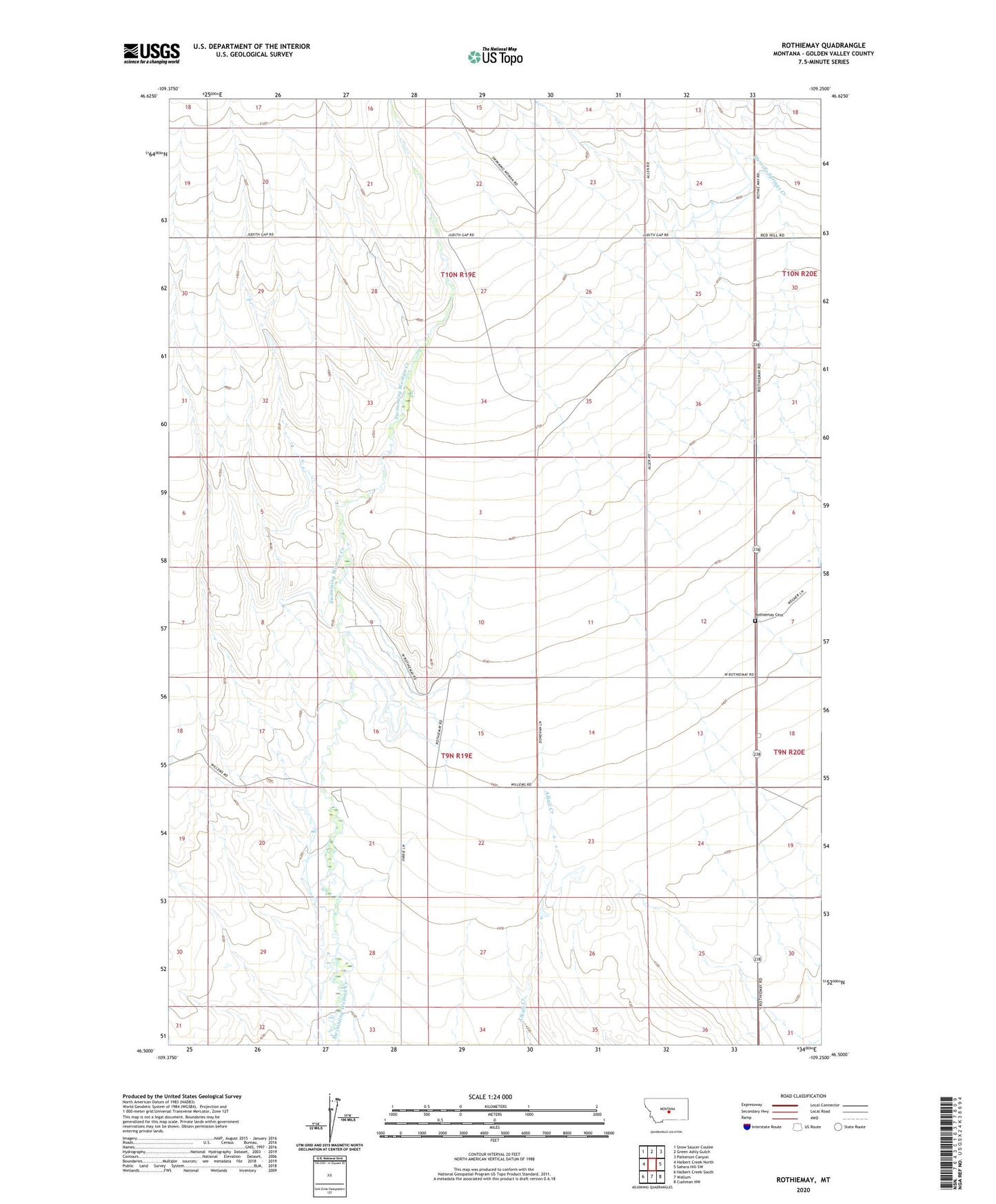
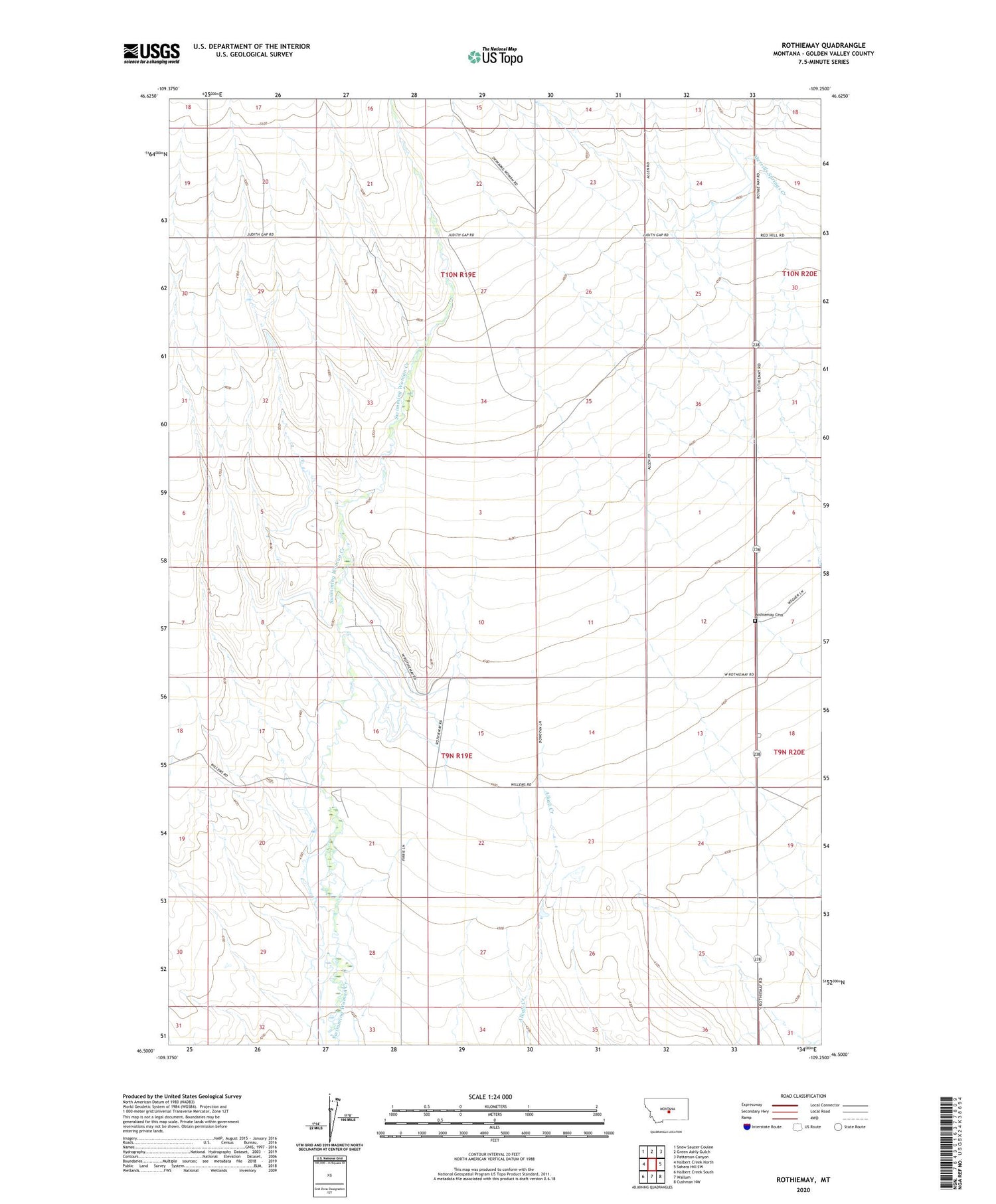
2020 topographic map quadrangle Rothiemay in the state of Montana. Scale: 1:24000. Based on the newly updated USGS 7.5' US Topo map series, this map is in the following counties: Golden Valley. The map contains contour data, water features, and other items you are used to seeing on USGS maps, but also has updated roads and other features. This is the next generation of topographic maps. Printed on high-quality waterproof paper with UV fade-resistant inks.
Quads adjacent to this one:
West: Halbert Creek North
Northwest: Snow Saucer Coulee
North: Green Ashly Gulch
Northeast: Patterson Canyon
East: Sahara Hill SW
Southeast: Cushman NW
South: Wallum
Southwest: Halbert Creek South
Contains the following named places: 10N19E34A___01 Well, Profile Post Office, Rothiemay, Rothiemay Cemetery, Rothiemay Post Office, Rothiemay School