MyTopo
Halbert Creek South Montana US Topo Map
Couldn't load pickup availability
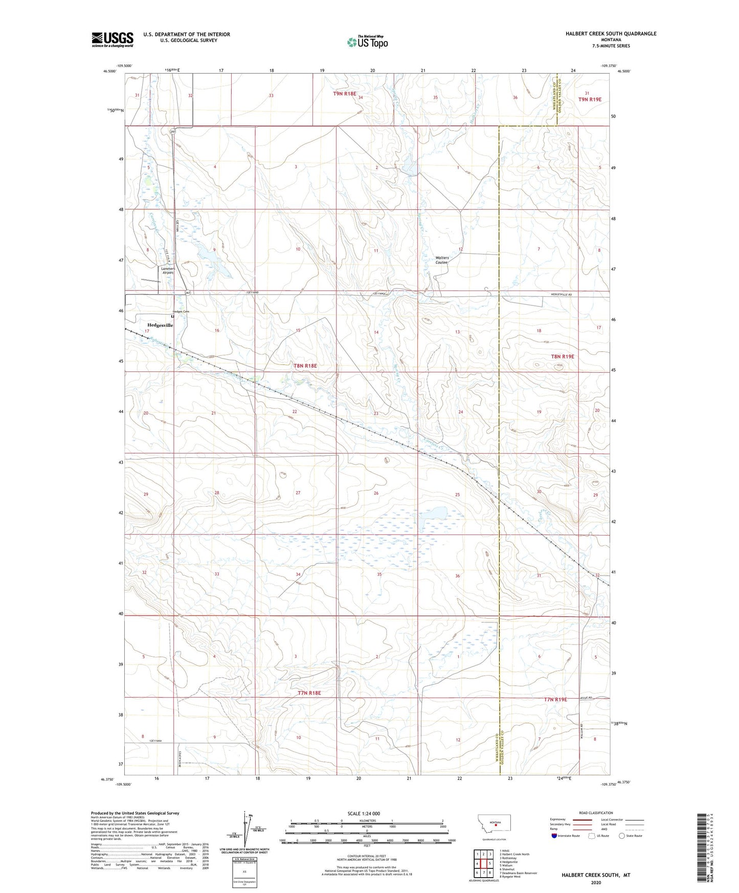
2024 topographic map quadrangle Halbert Creek South in the state of Montana. Scale: 1:24000. Based on the newly updated USGS 7.5' US Topo map series, this map is in the following counties: Wheatland, Golden Valley. The map contains contour data, water features, and other items you are used to seeing on USGS maps, but also has updated roads and other features. This is the next generation of topographic maps. Printed on high-quality waterproof paper with UV fade-resistant inks.
Quads adjacent to this one:
West: Hedgesville
Northwest: Nihill
North: Halbert Creek North
Northeast: Rothiemay
East: Wallum
Southeast: Ryegate West
South: Deadmans Basin Reservoir
Southwest: Shawmut
This map covers the same area as the classic USGS quad with code o46109d4.
Contains the following named places: 08N18E08____01 Well, 08N18E16____01 Well, Halbert Creek, Hedges Cemetery, Lammers Airport, Roberts Creek, Spring Creek, Walters Coulee