MyTopo
Runyan Bench Montana US Topo Map
Couldn't load pickup availability
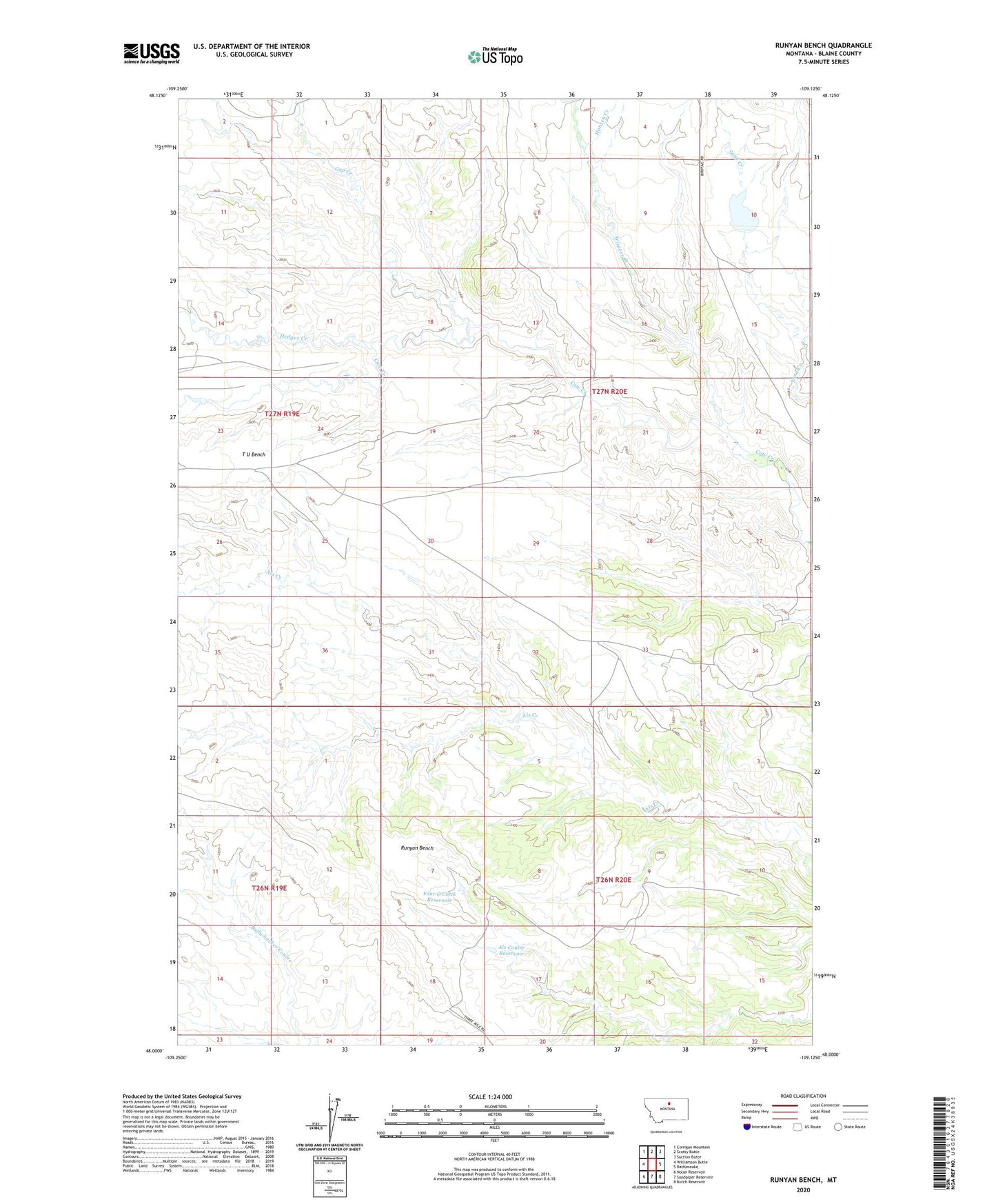
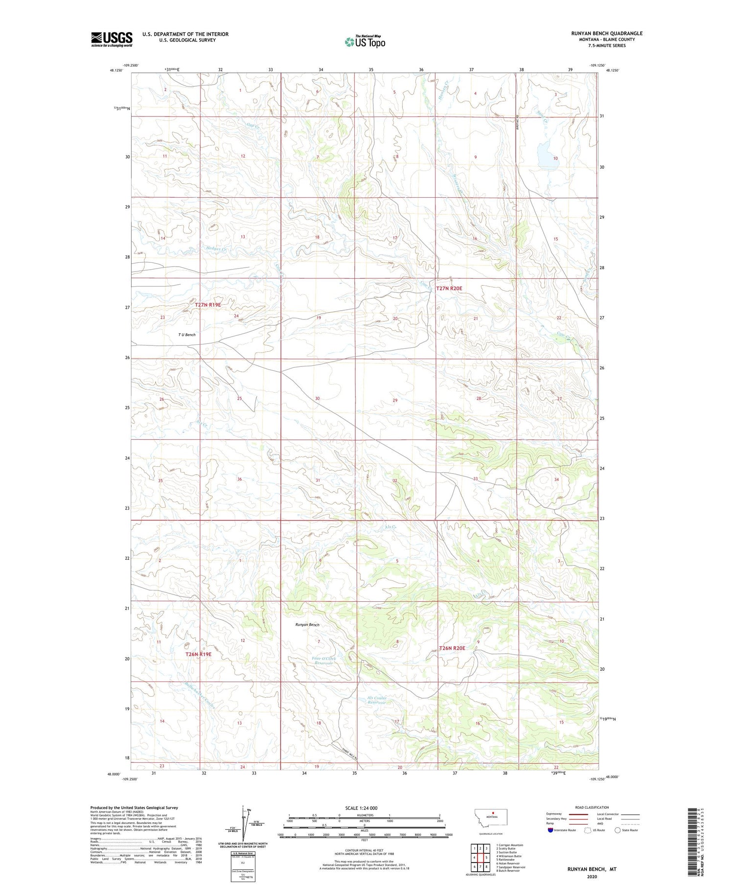
2020 topographic map quadrangle Runyan Bench in the state of Montana. Scale: 1:24000. Based on the newly updated USGS 7.5' US Topo map series, this map is in the following counties: Blaine. The map contains contour data, water features, and other items you are used to seeing on USGS maps, but also has updated roads and other features. This is the next generation of topographic maps. Printed on high-quality waterproof paper with UV fade-resistant inks.
Quads adjacent to this one:
West: Williamson Butte
Northwest: Corrigan Mountain
North: Scotty Butte
Northeast: Suction Butte
East: Rattlesnake
Southeast: Butch Reservoir
South: Sandpiper Reservoir
Southwest: Nolan Reservoir
Contains the following named places: Als Coulee Reservoir, Chimney Butte, Four O'Clock Reservoir, Gap Creek, Gumbo Butte, Hansen Creek, Hedges Creek, Holmes Post Office, Holmes School, Runyan Bench, Threemile Ridge, Winters Creek