MyTopo
Saddle Butte Montana US Topo Map
Couldn't load pickup availability
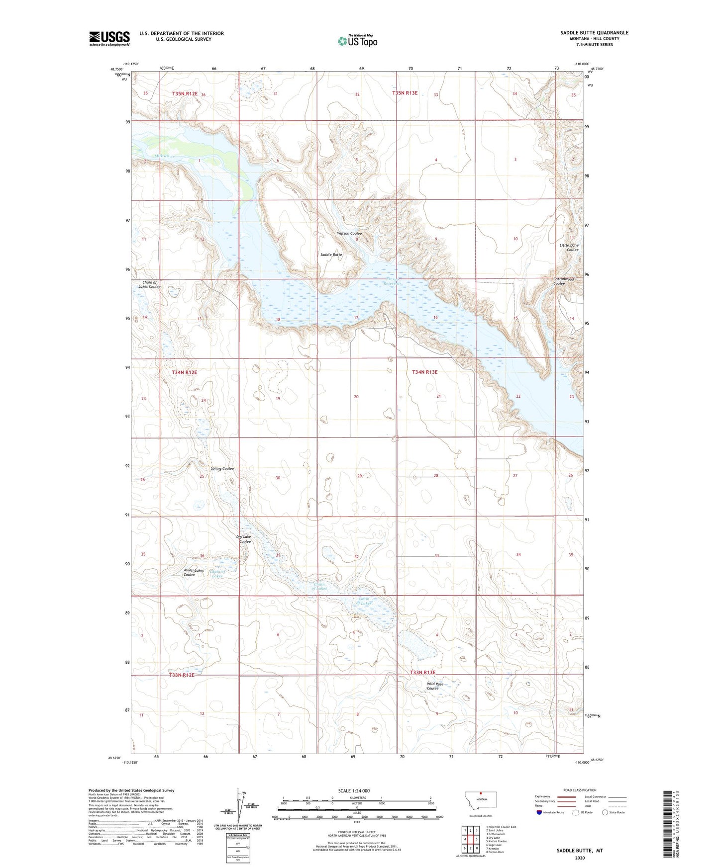
2024 topographic map quadrangle Saddle Butte in the state of Montana. Scale: 1:24000. Based on the newly updated USGS 7.5' US Topo map series, this map is in the following counties: Hill. The map contains contour data, water features, and other items you are used to seeing on USGS maps, but also has updated roads and other features. This is the next generation of topographic maps. Printed on high-quality waterproof paper with UV fade-resistant inks.
Quads adjacent to this one:
West: Dry Lake
Northwest: Ninemile Coulee East
North: Saint Johns
Northeast: Cottonwood
East: Kiehns Coulee
Southeast: Fresno Dam
South: Kremlin
Southwest: Sage Lake
This map covers the same area as the classic USGS quad with code o48110f1.
Contains the following named places: 33N05E01CDCC01 Well, 34N05E26AABA01 Well, 34N13E03CBBB01 Well, Alkali Lakes Coulee, Chain of Lakes, Cottonwood Coulee, Dry Lake Coulee, Fresno Reservoir, Hill County, Little Dane Coulee, Saddle Butte, Spring Coulee, Watson Coulee, Wild Rose Coulee