MyTopo
Kiehns Coulee Montana US Topo Map
Couldn't load pickup availability
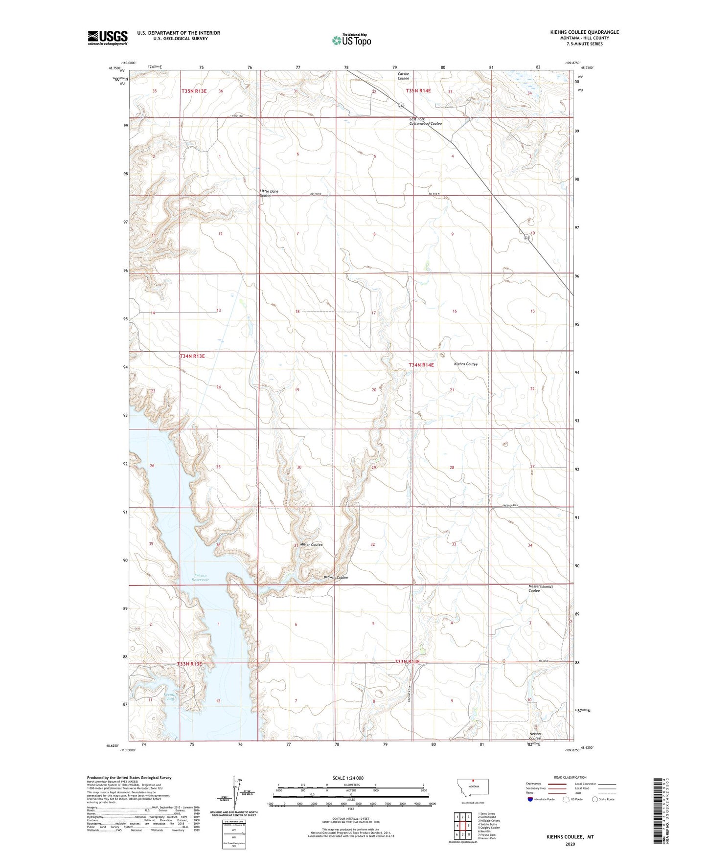
2024 topographic map quadrangle Kiehns Coulee in the state of Montana. Scale: 1:24000. Based on the newly updated USGS 7.5' US Topo map series, this map is in the following counties: Hill. The map contains contour data, water features, and other items you are used to seeing on USGS maps, but also has updated roads and other features. This is the next generation of topographic maps. Printed on high-quality waterproof paper with UV fade-resistant inks.
Quads adjacent to this one:
West: Saddle Butte
Northwest: Saint Johns
North: Cottonwood
Northeast: Hilldale Colony
East: Quigley Coulee
Southeast: Herron Park
South: Fresno Dam
Southwest: Kremlin
This map covers the same area as the classic USGS quad with code o48109f8.
Contains the following named places: 34N14E28CDDD01 Well, Browns Coulee, Grainbelt School, John Estate McSlay Dam, Kremlin Bay, Kremlin Campground, Miller Coulee