MyTopo
Sawtooth Ridge Montana US Topo Map
Couldn't load pickup availability
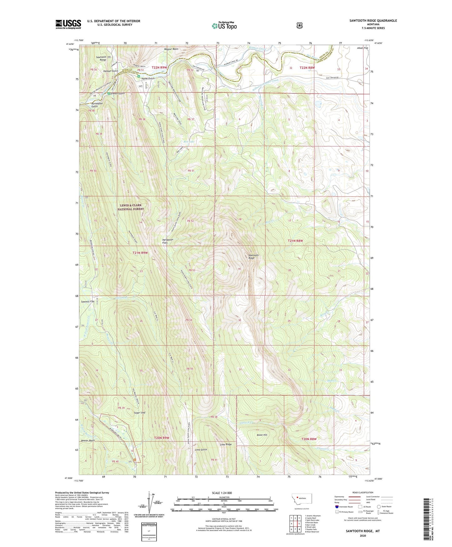
2020 topographic map quadrangle Sawtooth Ridge in the state of Montana. Scale: 1:24000. Based on the newly updated USGS 7.5' US Topo map series, this map is in the following counties: Lewis and Clark, Teton. The map contains contour data, water features, and other items you are used to seeing on USGS maps, but also has updated roads and other features. This is the next generation of topographic maps. Printed on high-quality waterproof paper with UV fade-resistant inks.
Quads adjacent to this one:
West: Patricks Basin
Northwest: Arsenic Mountain
North: Castle Reef
Northeast: Split Rock Lake
East: Barr Creek
Southeast: Nilan Reservoir
South: Double Falls
Southwest: Wood Lake
Contains the following named places: Agropyron Flats, Alkali Flat, Buttolph Creek, Cutreef Creek, Diversion Lake, French Gulch, Hannan Gulch, Hannan Gulch Guard Station, Home Gulch, Home Gulch Campground, Lime Ridge, Marshall Post Office, Neal Ranch, Norwegian Gulch, Red Lake, Roost Hill, Sawmill Flat, Sawtooth Ridge, Stecker Ranch, Stoner Place, Sugar Loaf, Sun Canyon Lodge, Sun River Diversion Dam, Sun River Game Range, Willow Creek Feeder Canal