MyTopo
Shipstead Coulee Montana US Topo Map
Couldn't load pickup availability
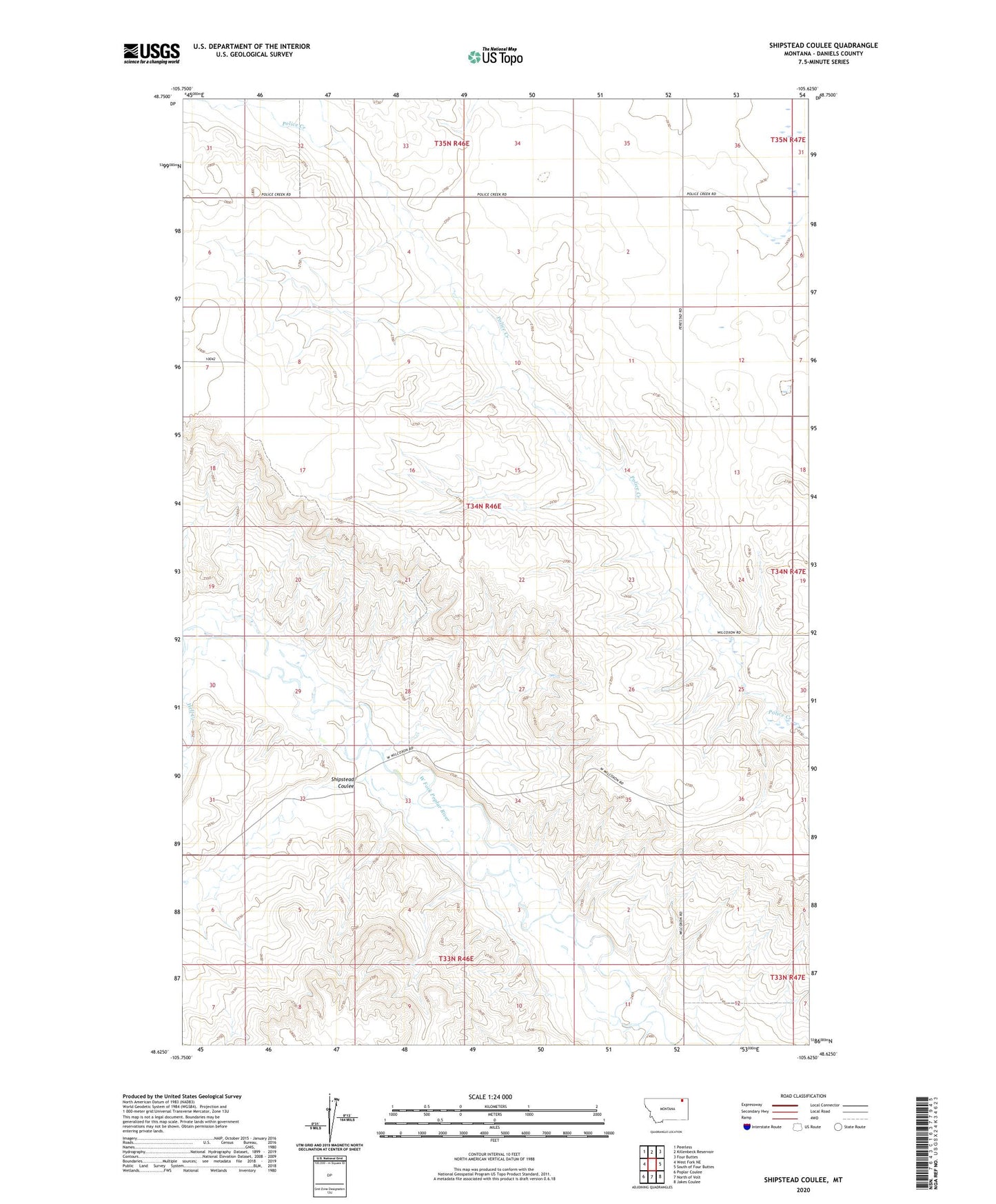
2024 topographic map quadrangle Shipstead Coulee in the state of Montana. Scale: 1:24000. Based on the newly updated USGS 7.5' US Topo map series, this map is in the following counties: Daniels. The map contains contour data, water features, and other items you are used to seeing on USGS maps, but also has updated roads and other features. This is the next generation of topographic maps. Printed on high-quality waterproof paper with UV fade-resistant inks.
Quads adjacent to this one:
West: West Fork NE
Northwest: Peerless
North: Killenbeck Reservoir
Northeast: Four Buttes
East: South of Four Buttes
Southeast: Jakes Coulee
South: North of Volt
Southwest: Poplar Coulee
This map covers the same area as the classic USGS quad with code o48105f6.
Contains the following named places: 33N46E02CDAD01 Well, 34N46E01BBBC01 Well, 34N46E01BBBD01 Well, 34N46E03CDCD01 Well, 34N46E05ACBD01 Well, 34N46E07DCCB01 Well, 34N46E13ABAA01 Well, 34N46E13ABAA02 Well, 34N46E13ABAD01 Well, 34N46E18AAAA01 Well, 35N46E31ABCB01 Well, 35N46E32BDDA01 Well, 35N46E35ADAC01 Well, Shipstead Coulee