MyTopo
Sixmile Mountain Montana US Topo Map
Couldn't load pickup availability
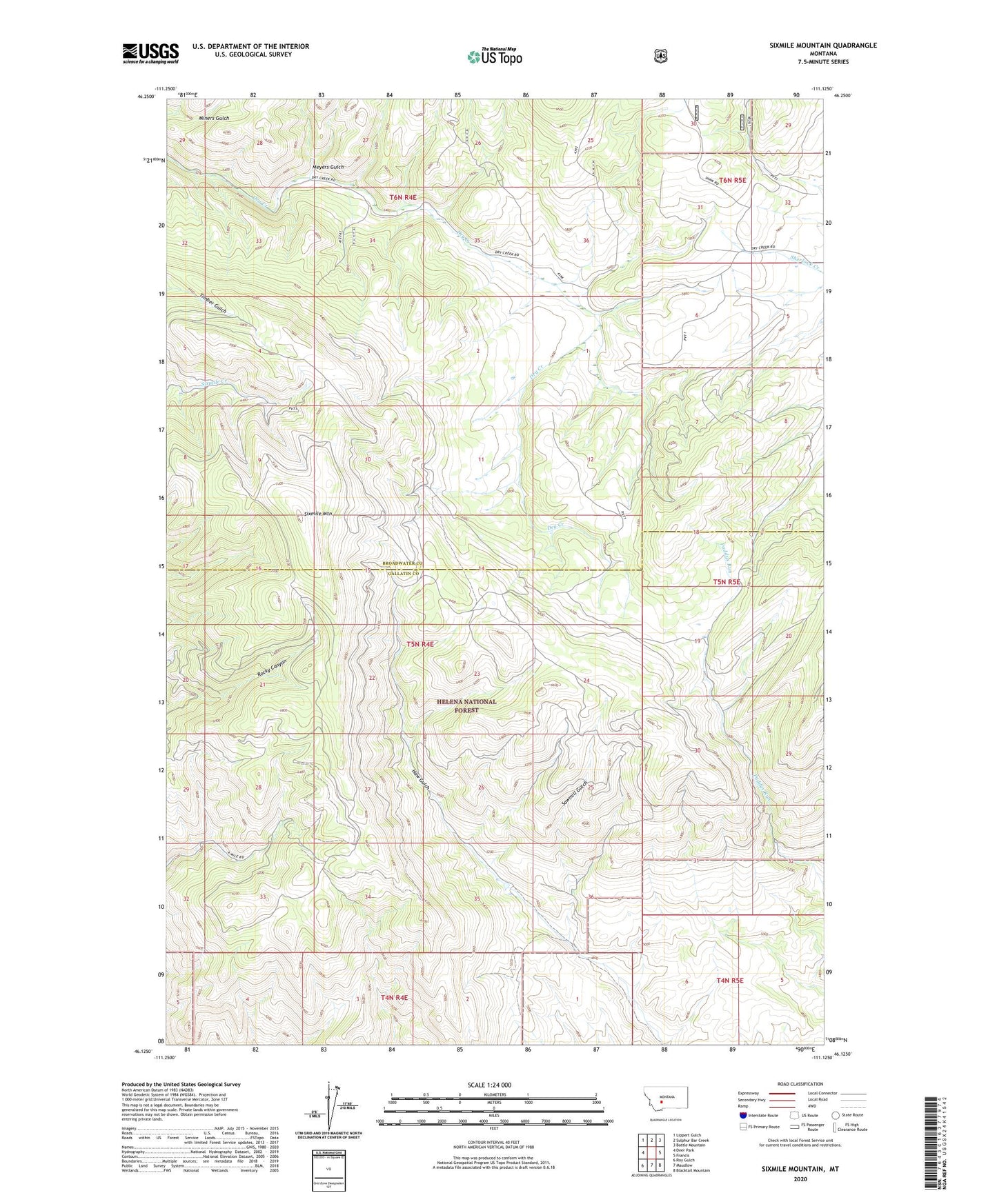
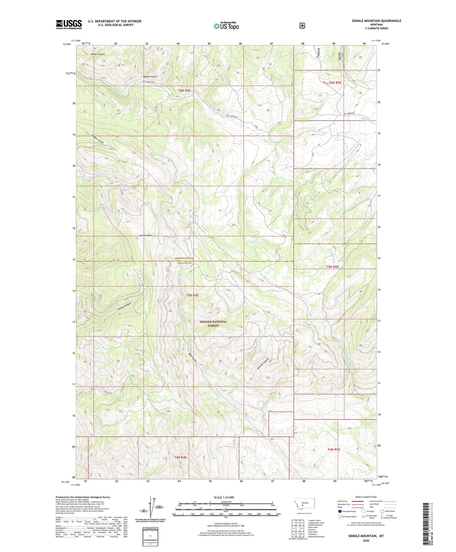
2020 topographic map quadrangle Sixmile Mountain in the state of Montana. Scale: 1:24000. Based on the newly updated USGS 7.5' US Topo map series, this map is in the following counties: Broadwater, Gallatin. The map contains contour data, water features, and other items you are used to seeing on USGS maps, but also has updated roads and other features. This is the next generation of topographic maps. Printed on high-quality waterproof paper with UV fade-resistant inks.
Quads adjacent to this one:
West: Deer Park
Northwest: Lippert Gulch
North: Sulphur Bar Creek
Northeast: Battle Mountain
East: Francis
Southeast: Blacktail Mountain
South: Maudlow
Southwest: Roy Gulch
Contains the following named places: Daniels Cow Camp, Koenig Ranch, Meyers Gulch, Sawmill Gulch, Sixmile Mountain