MyTopo
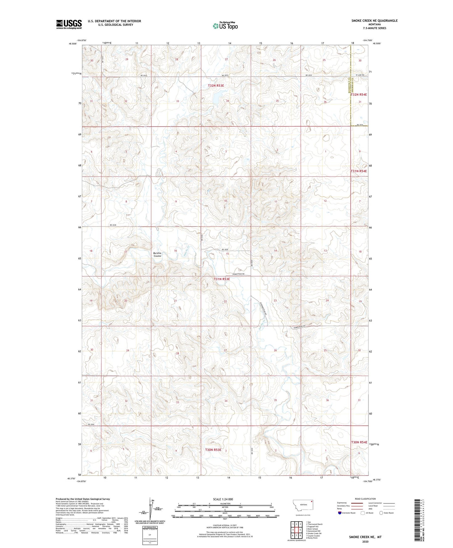
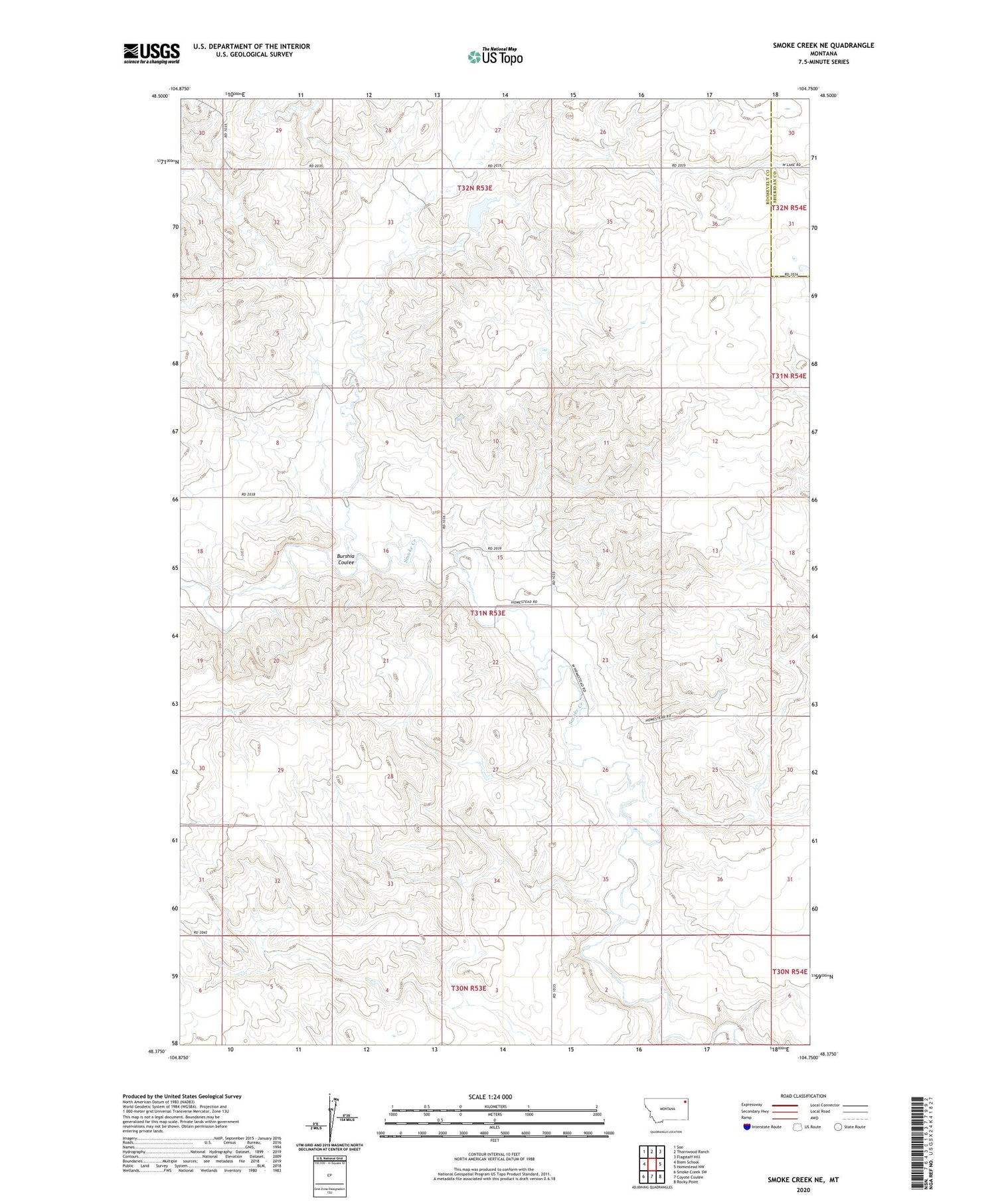
Smoke Creek NE Montana US Topo Map
Couldn't load pickup availability
2020 topographic map quadrangle Smoke Creek NE in the state of Montana. Scale: 1:24000. Based on the newly updated USGS 7.5' US Topo map series, this map is in the following counties: Roosevelt, Sheridan. The map contains contour data, water features, and other items you are used to seeing on USGS maps, but also has updated roads and other features. This is the next generation of topographic maps. Printed on high-quality waterproof paper with UV fade-resistant inks.
Quads adjacent to this one:
West: Biem School
Northwest: Soo
North: Thornwood Ranch
Northeast: Flagstaff Hill
East: Homestead NW
Southeast: Rocky Point
South: Coyote Coulee
Southwest: Smoke Creek SW
Contains the following named places: Burshia Coulee, Eng School, Johnson Farms Number 1 Dam, West's Ranch