MyTopo
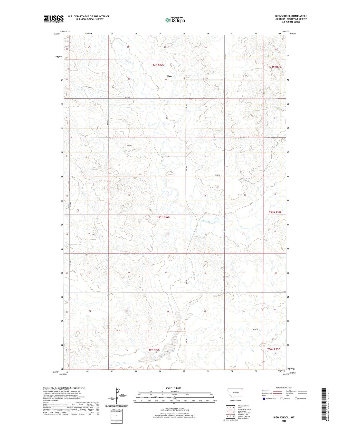
Biem School Montana US Topo Map
Couldn't load pickup availability
2024 topographic map quadrangle Biem School in the state of Montana. Scale: 1:24000. Based on the newly updated USGS 7.5' US Topo map series, this map is in the following counties: Roosevelt. The map contains contour data, water features, and other items you are used to seeing on USGS maps, but also has updated roads and other features. This is the next generation of topographic maps. Printed on high-quality waterproof paper with UV fade-resistant inks.
Quads adjacent to this one:
West: Hay Creek
Northwest: Pleasant Prairie
North: Soo
Northeast: Thornwood Ranch
East: Smoke Creek NE
Southeast: Coyote Coulee
South: Smoke Creek SW
Southwest: Geddart Lake
Contains the following named places: 30N52E02AABD01 Well, 31N52E05CDCD01 Well, 31N52E05CDDB01 Well, 31N52E05CDDB02 Well, 33N49E33DD__11 Well, 33N49E33DD__12 Well, 33N49E34BD__10 Well, 33N49E34CB__10 Well, Biem, Biem Post Office, Biem School