MyTopo
Thornwood Ranch Montana US Topo Map
Couldn't load pickup availability
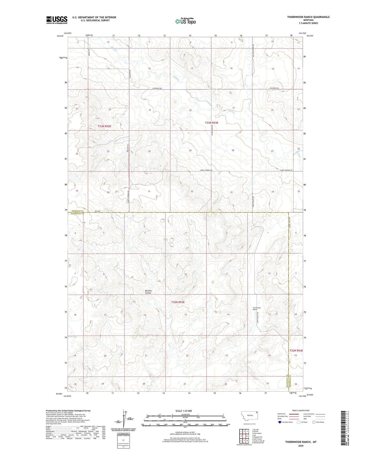
2024 topographic map quadrangle Thornwood Ranch in the state of Montana. Scale: 1:24000. Based on the newly updated USGS 7.5' US Topo map series, this map is in the following counties: Sheridan, Roosevelt. The map contains contour data, water features, and other items you are used to seeing on USGS maps, but also has updated roads and other features. This is the next generation of topographic maps. Printed on high-quality waterproof paper with UV fade-resistant inks.
Quads adjacent to this one:
West: Soo
Northwest: Soo NW
North: Soo NE
Northeast: Kisler Butte
East: Flagstaff Hill
Southeast: Homestead NW
South: Smoke Creek NE
Southwest: Biem School
This map covers the same area as the classic USGS quad with code o48104e7.
Contains the following named places: 32N53E02CBCB01 Well, 32N53E13BCCA01 Well, 32N54E17ABB_01 Well, 33N52E23BAAD01 Well, 33N52E23BADD01 Well, 33N53E19CCBB01 Well, 33N53E19CCBC01 Well, 33N53E20ACAB01 Well, 33N53E29CCBD01 Well, Malcolm Creek, Thornwood Ranch, Thornwood School