MyTopo
Specimen Creek Montana US Topo Map
Couldn't load pickup availability
Also explore the Specimen Creek Forest Service Topo of this same quad for updated USFS data
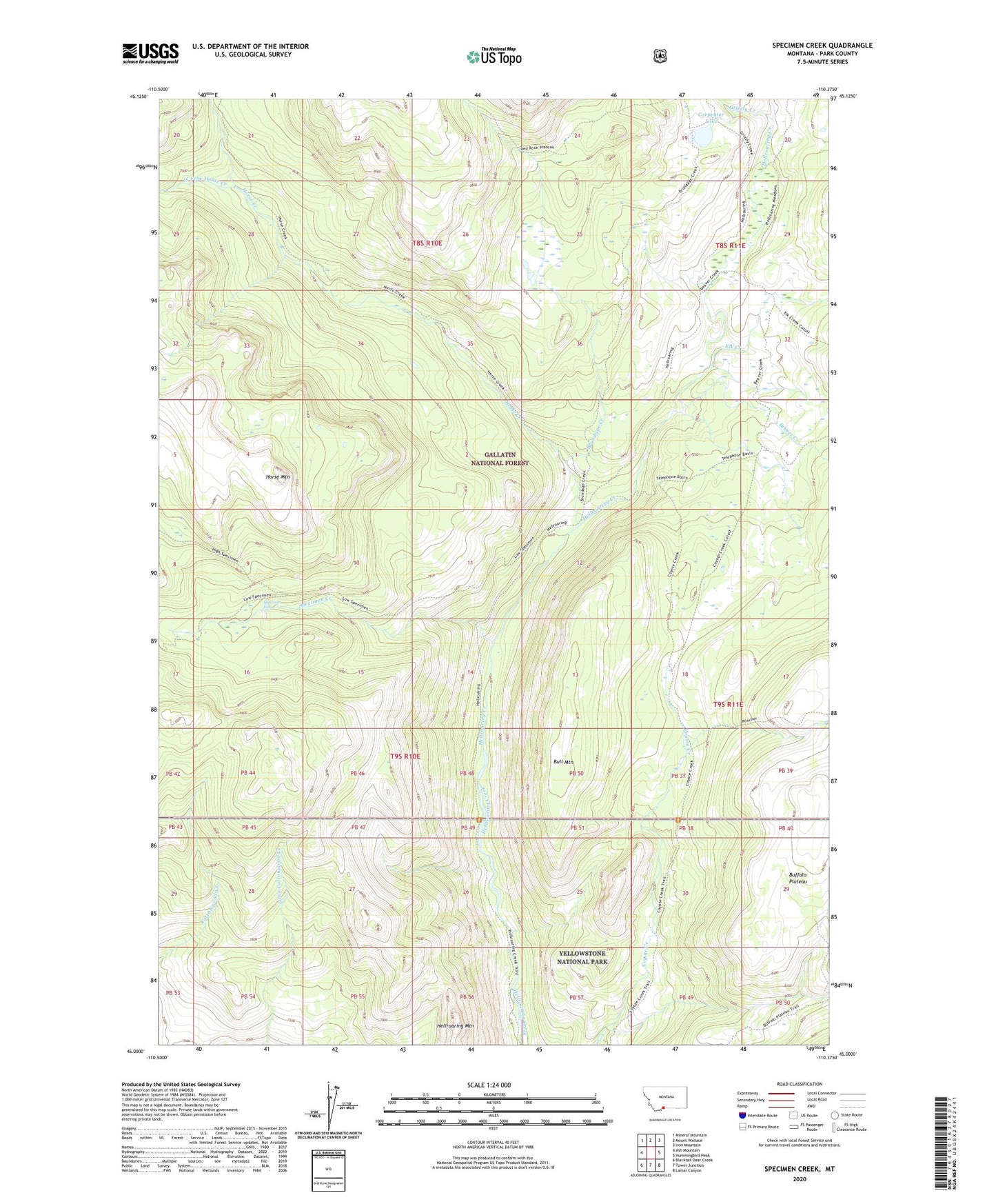
2024 topographic map quadrangle Specimen Creek in the state of Montana. Scale: 1:24000. Based on the newly updated USGS 7.5' US Topo map series, this map is in the following counties: Park. The map contains contour data, water features, and other items you are used to seeing on USGS maps, but also has updated roads and other features. This is the next generation of topographic maps. Printed on high-quality waterproof paper with UV fade-resistant inks.
Quads adjacent to this one:
West: Ash Mountain
Northwest: Mineral Mountain
North: Mount Wallace
Northeast: Iron Mountain
East: Hummingbird Peak
Southeast: Lamar Canyon
South: Tower Junction
Southwest: Blacktail Deer Creek
This map covers the same area as the classic USGS quad with code o45110a4.
Contains the following named places: Beaver Creek, Brundage Creek, Bull Mountain, Carpenter Lake, Coyote Creek Trail, Elk Creek, Grizzly Creek, Hellroaring Mountain, Hellroaring Ranger Station, Horse Creek, Horse Mountain, Specimen Creek, Specimen Falls, West Fork Horse Creek