
MyTopo
Stacey Montana US Topo Map
Couldn't load pickup availability
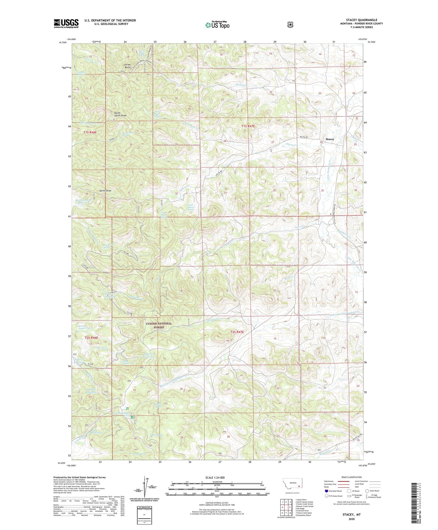
2020 topographic map quadrangle Stacey in the state of Montana. Scale: 1:24000. Based on the newly updated USGS 7.5' US Topo map series, this map is in the following counties: Powder River. The map contains contour data, water features, and other items you are used to seeing on USGS maps, but also has updated roads and other features. This is the next generation of topographic maps. Printed on high-quality waterproof paper with UV fade-resistant inks.
Quads adjacent to this one:
West: Beaver Creek School
Northwest: Hayes Point
North: North Stacey School
Northeast: Foster Creek School
East: Elk Ridge
Southeast: Samuelson Ranch
South: Home Creek Butte
Southwest: Coleman Draw
Contains the following named places: 01S46E36CDCD01 Well, 01S47E16CBCA01 Well, 01S47E20ACDA01 Well, 01S47E22DBAB01 Well, 01S47E23DDAD01 Well, 01S47E26CBBB01 Well, 01S47E27DBBD01 Well, 01S47E28ACCD01 Well, 01S47E34AACD01 Well, 02S47E04ADDB01 Well, 02S47E08ABBC01 Well, 02S47E10DADB01 Well, 02S47E19CDDB01 Spring, Beaver Creek Well, Bidwell Spring, Bottom Crib Spring, Buckberry Creek, Coal Creek, East Fork Spring, Gaskill Creek, Gold Creek, Green Creek, Holiday Campground, Horse Pasture Reservoir, Liscom Butte, Liscom Butte Spring, North Stacey Spring, Oil Well Reservoir, Road Creek Reservoir, Sartin Draw Spring, Sheep Creek Reservoir, South Stacey Spring, South Stacy School, Split Rock Creek, Split Rock Spring, Spring Number One, Spring Number Two, Stacey, Stacey Creek, Straight Creek Reservoir, Surprise Spring, Sutton Spring, Thomas Spring, Whitetail Creek, Whitetail Ranger Station


