MyTopo
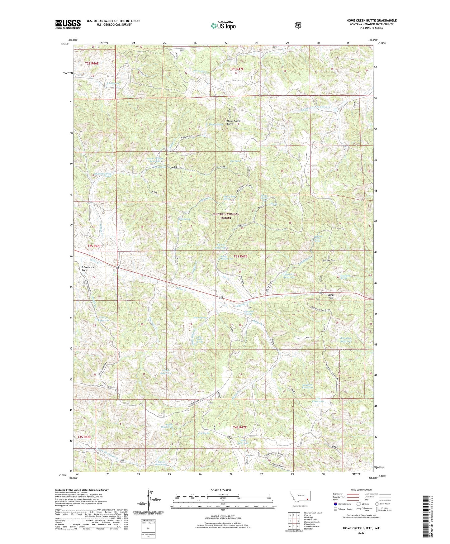
Home Creek Butte Montana US Topo Map
Couldn't load pickup availability
Also explore the Home Creek Butte Forest Service Topo of this same quad for updated USFS data
2024 topographic map quadrangle Home Creek Butte in the state of Montana. Scale: 1:24000. Based on the newly updated USGS 7.5' US Topo map series, this map is in the following counties: Powder River. The map contains contour data, water features, and other items you are used to seeing on USGS maps, but also has updated roads and other features. This is the next generation of topographic maps. Printed on high-quality waterproof paper with UV fade-resistant inks.
Quads adjacent to this one:
West: Coleman Draw
Northwest: Beaver Creek School
North: Stacey
Northeast: Elk Ridge
East: Samuelson Ranch
Southeast: Sonnette
South: Threemile Buttes
Southwest: Yager Butte
This map covers the same area as the classic USGS quad with code o45105e8.
Contains the following named places: 03S46E12ADDC01 Well, 03S46E12ADDC02 Spring, 03S47E28ACDA01 Well, 03S47E30DACB01 Well, Barrel Spring, Big Tobin Creek, Big Tobin Well, Boundary Reservoir, Buffalo Head Spring, Cabin Creek, Cabin Spring, Camps Pass, East Spring, Fear Spring, Fly Creek, Fly Creek Reservoir, Frary Spring, Hanson Spring, Hint Reservoirs, Home Creek Butte, Houghlan Spring, Knudson Reservoir, Lemonade Spring, Little Tobin Creek, Little Tobin Spring, Logging Creek, Logging Creek Reservoir, Logging Creek Spring, Lower Wilbur Reservoir, North Fork Threemile Creek Well, Phillips Reservoir, Rough Creek, Schoolhouse Draw, Smith Reservoir, Spring Number One, Spring Number Two, Suicide Pass, Tobin Reservoir, Trapper Creek, Upper Cabin Spring, Well Reservoir, Wesco Spring, Wilbur Creek