MyTopo
Samuelson Ranch Montana US Topo Map
Couldn't load pickup availability
Also explore the Samuelson Ranch Forest Service Topo of this same quad for updated USFS data
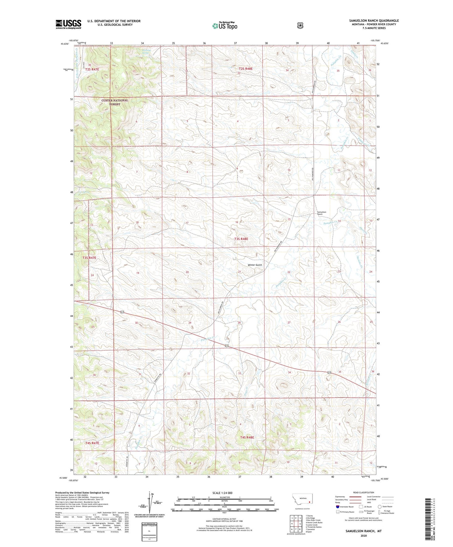
2024 topographic map quadrangle Samuelson Ranch in the state of Montana. Scale: 1:24000. Based on the newly updated USGS 7.5' US Topo map series, this map is in the following counties: Powder River. The map contains contour data, water features, and other items you are used to seeing on USGS maps, but also has updated roads and other features. This is the next generation of topographic maps. Printed on high-quality waterproof paper with UV fade-resistant inks.
Quads adjacent to this one:
West: Home Creek Butte
Northwest: Stacey
North: Elk Ridge
Northeast: Box Elder Creek
East: Leslie Creek
Southeast: Epsie
South: Sonnette
Southwest: Threemile Buttes
This map covers the same area as the classic USGS quad with code o45105e7.
Contains the following named places: 03S48E03ADBA01 Well, 03S48E05DDDA01 Well, 03S48E15BBCC01 Well, 03S48E17DDAD01 Well, 03S48E18CACC01 Well, 03S48E23AABD01 Well, 03S48E28CAAA01 Well, 04S48E05ADDA01 Well, Cain Spring, Camps Pass School, Fiftyfour Creek, Manning Spring, Samuelson Ranch, Short Creek, Sixmile Creek, Titus Creek, Winter Gulch