MyTopo
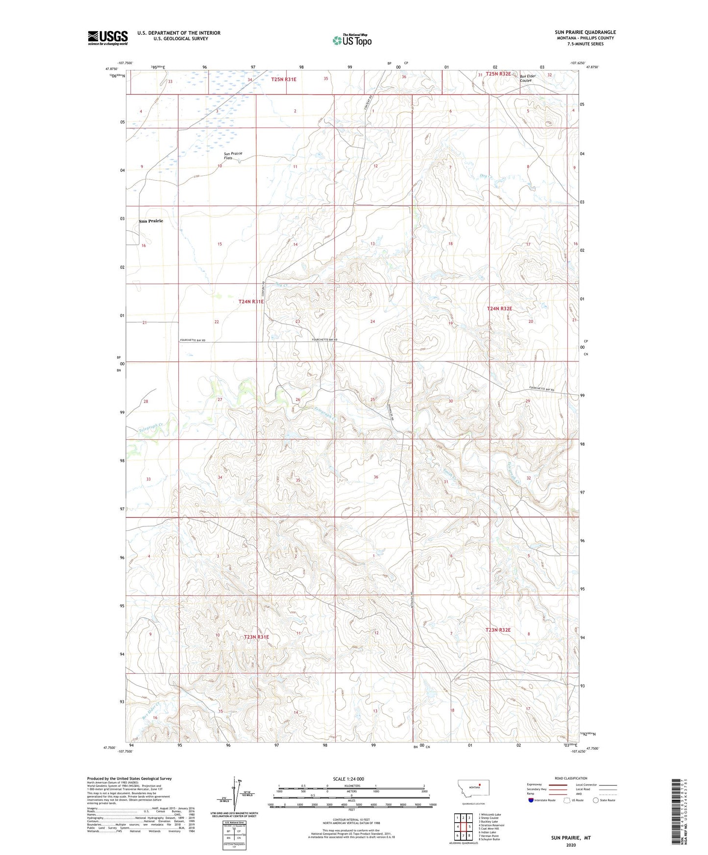
Sun Prairie Montana US Topo Map
Couldn't load pickup availability
2020 topographic map quadrangle Sun Prairie in the state of Montana. Scale: 1:24000. Based on the newly updated USGS 7.5' US Topo map series, this map is in the following counties: Phillips. The map contains contour data, water features, and other items you are used to seeing on USGS maps, but also has updated roads and other features. This is the next generation of topographic maps. Printed on high-quality waterproof paper with UV fade-resistant inks.
Quads adjacent to this one:
West: Stratton Reservoir
Northwest: Whitcomb Lake
North: Sheep Coulee
Northeast: Buckley Lake
East: Coal Mine Hill
Southeast: Schuyler Butte
South: Herman Point
Southwest: Indian Lake
Contains the following named places: 23N31E11CA__01 Well, 24N31E11AA__01 Well, 24N31E15ACC_01 Well, Dog Creek, Koss Number 2 Dam, Smith Creek, Sun Prairie, Sun Prairie Post Office, Sun Prairie School, Telegraph Creek Post Office