MyTopo
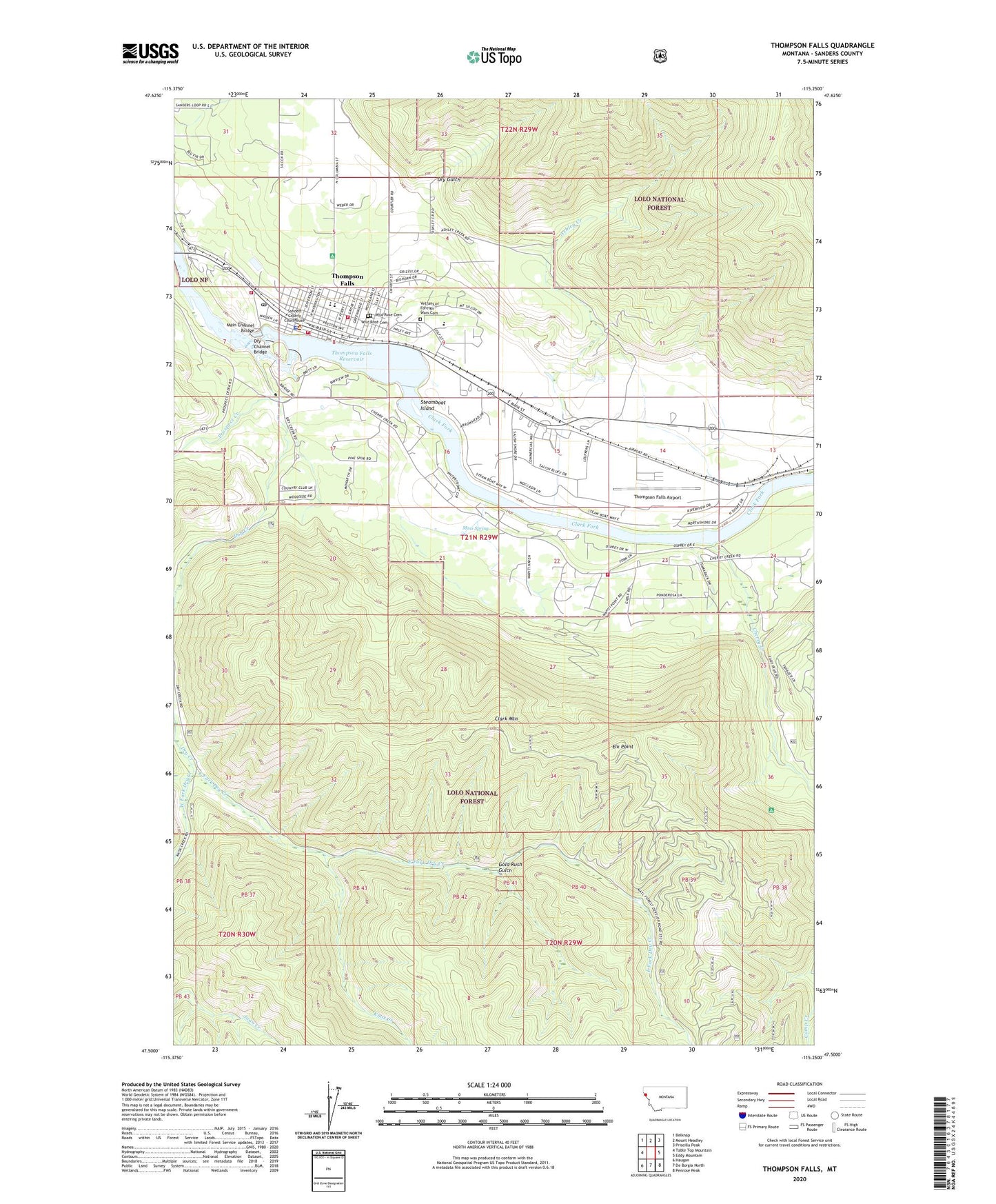
Thompson Falls Montana US Topo Map
Couldn't load pickup availability
Also explore the Thompson Falls Forest Service Topo of this same quad for updated USFS data
2024 topographic map quadrangle Thompson Falls in the state of Montana. Scale: 1:24000. Based on the newly updated USGS 7.5' US Topo map series, this map is in the following counties: Sanders. The map contains contour data, water features, and other items you are used to seeing on USGS maps, but also has updated roads and other features. This is the next generation of topographic maps. Printed on high-quality waterproof paper with UV fade-resistant inks.
Quads adjacent to this one:
West: Table Top Mountain
Northwest: Belknap
North: Mount Headley
Northeast: Priscilla Peak
East: Eddy Mountain
Southeast: Penrose Peak
South: De Borgia North
Southwest: Haugan
This map covers the same area as the classic USGS quad with code o47115e3.
Contains the following named places: 21N29W09BDDC01 Well, 21N29W09BDDC02 Well, 21N29W09DDCB01 Well, 21N29W23CBDC01 Well, 22N29W33CCCC01 Well, Ashley Creek, Assembly of God Church, Brownman, Cherry Creek, City of Thompson Falls, Clark Mountain, Community Congregational Church, Daves Landing Seaplane Base, Dry Channel Bridge, Dry Creek, Dry Gulch, East Fork Dry Creek, Elk Point, First Baptist Church, Gold Rush Campground, Gold Rush Gulch, Hartman, Jehovahs Witnesses, Knox Creek, Main Channel Bridge, Mass Spring, Miller Park, Old Jail Museum, Our Saviors Lutheran Church, Pentecostal Church of God, Prospect Creek, Riverfront RV Park and Cabins, Saint Williams Catholic Church, Saleesh House, Sanders County Courthouse, Sanders County Historical Museum, Sanders County Sheriff's Office, Steamboat Island, The Church of Jesus Christ of Latter Day Saints, Thompson Falls, Thompson Falls Airport, Thompson Falls Alliance Church, Thompson Falls Ambulance, Thompson Falls Christian Church, Thompson Falls Clinic, Thompson Falls Dam, Thompson Falls Dam Point of Interest, Thompson Falls Elementary School, Thompson Falls High School, Thompson Falls Historical Marker, Thompson Falls Junior High School, Thompson Falls Police Department, Thompson Falls Post Office, Thompson Falls Public Library, Thompson Falls Reservoir, Thompson Falls Rural Fire Department Station 1, Thompson Falls Rural Fire Department Station 2, Thompson Falls Volunteer Fire Department, Thompson Falls Volunteer Fire Department Station 2, Vetrans of Foreign Wars Cemetery, West Fork Dry Creek, Wild Rose Cemetery, Woodlin, Woodlin School


