MyTopo
Thunderbolt Creek Montana US Topo Map
Couldn't load pickup availability
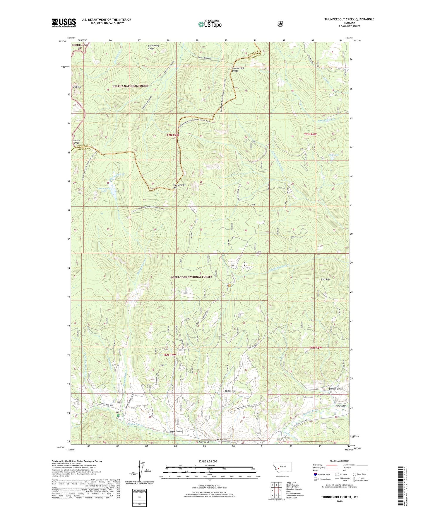
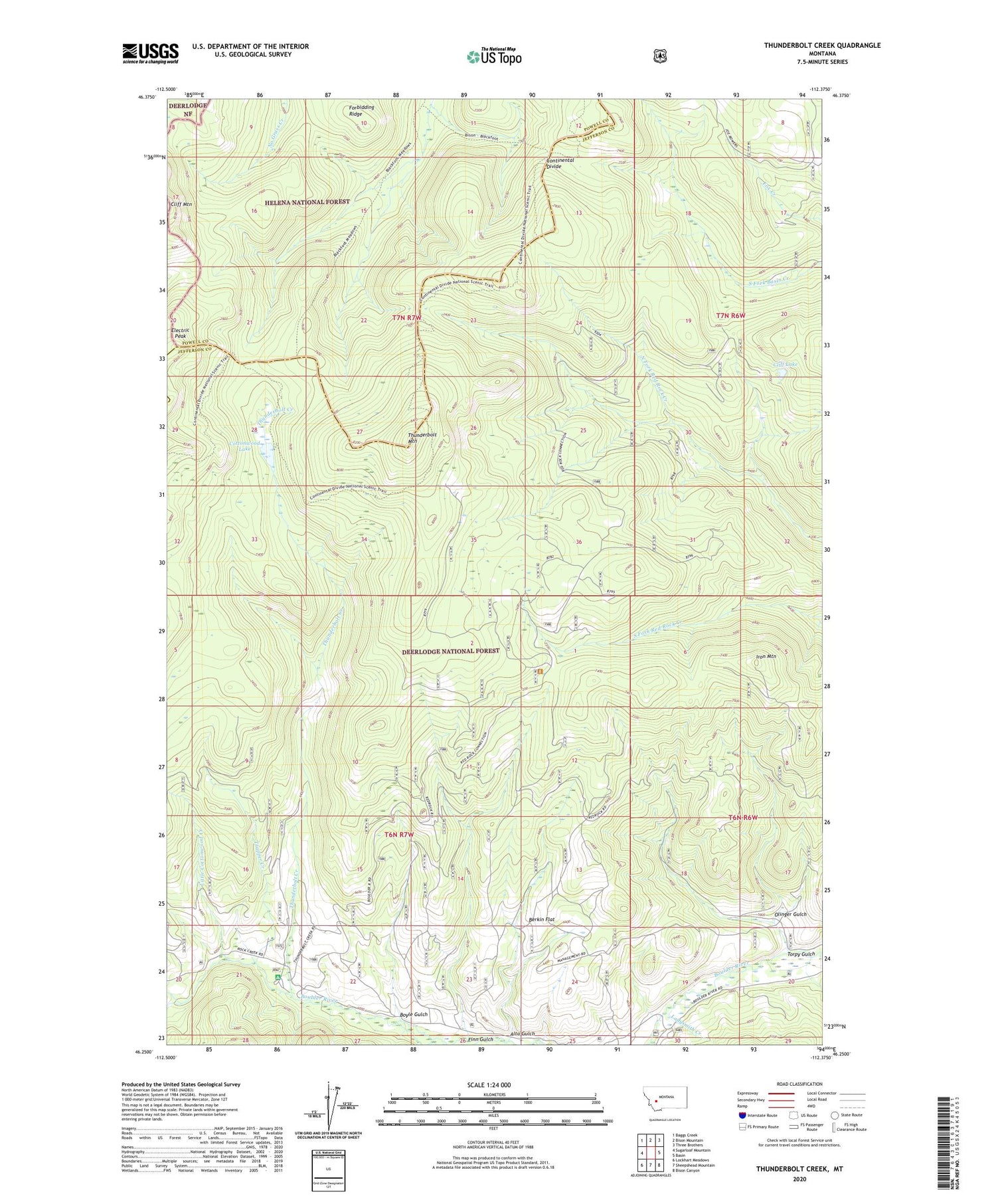
2020 topographic map quadrangle Thunderbolt Creek in the state of Montana. Scale: 1:24000. Based on the newly updated USGS 7.5' US Topo map series, this map is in the following counties: Jefferson, Powell. The map contains contour data, water features, and other items you are used to seeing on USGS maps, but also has updated roads and other features. This is the next generation of topographic maps. Printed on high-quality waterproof paper with UV fade-resistant inks.
Quads adjacent to this one:
West: Sugarloaf Mountain
Northwest: Baggs Creek
North: Bison Mountain
Northeast: Three Brothers
East: Basin
Southeast: Bison Canyon
South: Sheepshead Mountain
Southwest: Lockhart Meadows
Contains the following named places: Alta Gulch, Berkin Flat, Boyle Gulch, Boyle Gulch Mine, Cliff Lake, Cottonwood Lake, Electric Peak, Finn Gulch, General Eisenhower Range, Iron Mountain, Ladysmith Campground, Ladysmith Creek, Ladysmith Picnic Ground, Little Cottonwood Creek, Olinger Gulch, Saratoga Mine, Thunderbolt Creek, Thunderbolt Mountain, Torpy Gulch, Torpy Gulch Mine, Trapper Creek, Whitehouse Campground, Whitehouse Picnic Ground, ZIP Code: 59631