MyTopo
Wheeler Montana US Topo Map
Couldn't load pickup availability
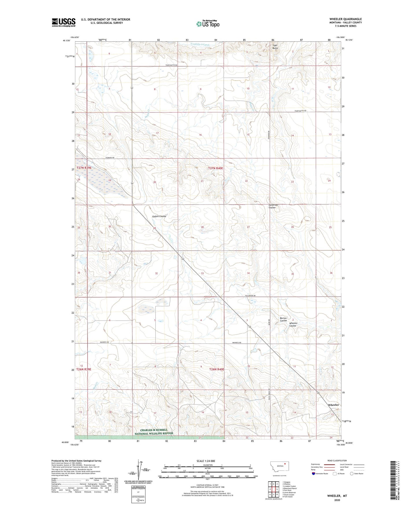
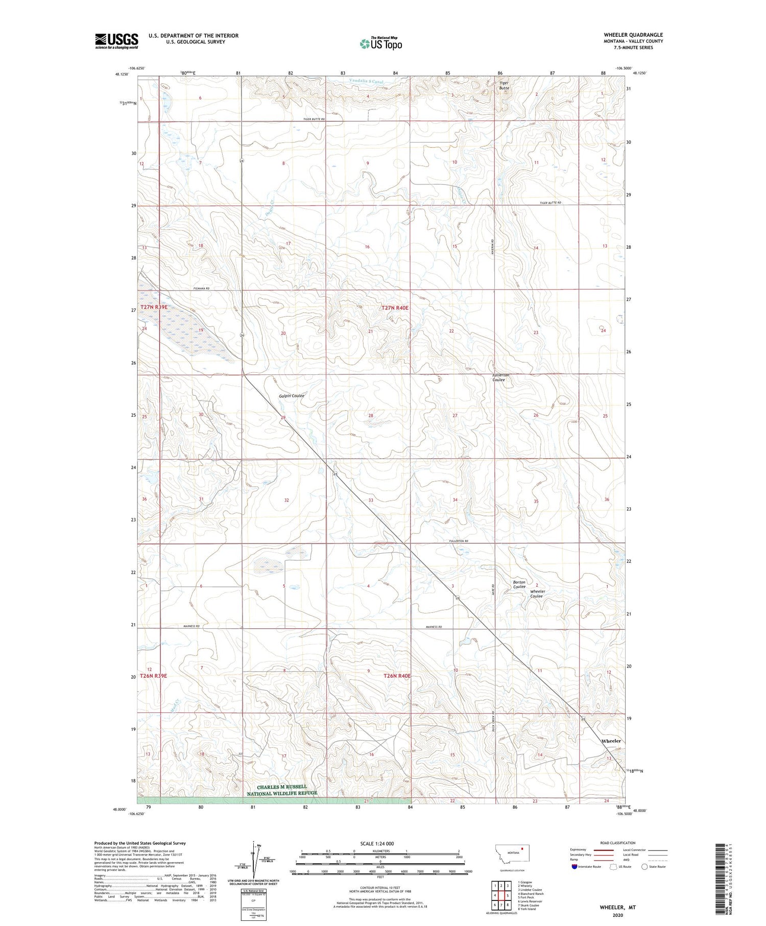
2020 topographic map quadrangle Wheeler in the state of Montana. Scale: 1:24000. Based on the newly updated USGS 7.5' US Topo map series, this map is in the following counties: Valley. The map contains contour data, water features, and other items you are used to seeing on USGS maps, but also has updated roads and other features. This is the next generation of topographic maps. Printed on high-quality waterproof paper with UV fade-resistant inks.
Quads adjacent to this one:
West: Blanchard Ranch
Northwest: Glasgow
North: Whately
Northeast: Lindeke Coulee
East: Fort Peck
Southeast: York Island
South: Skunk Coulee
Southwest: Lewis Reservoir
Contains the following named places: 26N40E02CBBA01 Well, 26N40E13BDDA01 Well, 27N40E07BDAB01 Well, 27N40E16CCAC01 Well, 27N40E30BAAA01 Well, Borton Coulee, Dry Lake, Greenwood Number 2 Dam, KLAN-FM (Glasgow), Minot, Newton School, Tiger Butte School, West Galpin School, Whatshername Dam, Whatshisname Dam, Wheeler, Wheeler Coulee, Wheeler Post Office