MyTopo
Wolf Creek Falls Montana US Topo Map
Couldn't load pickup availability
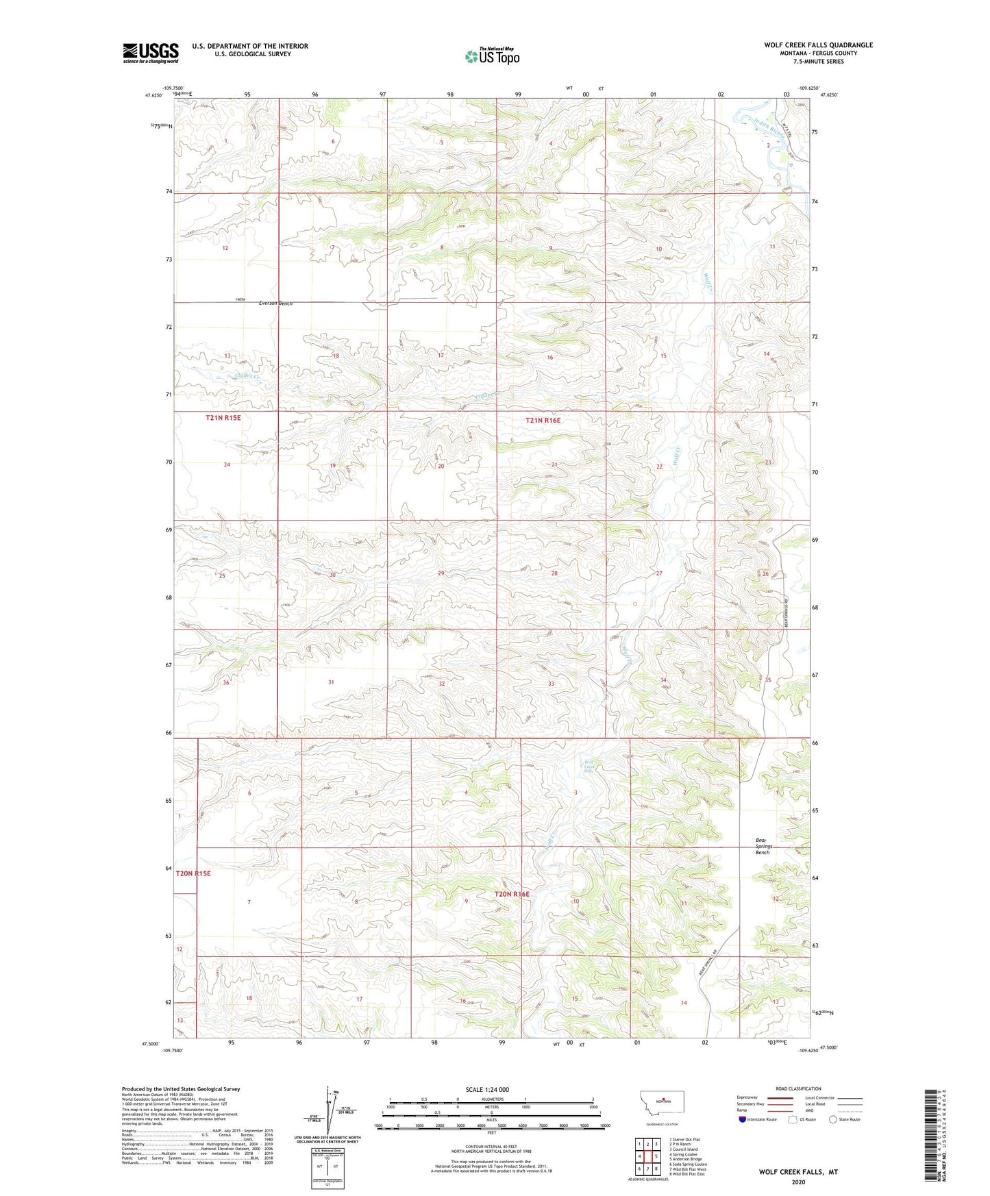
2020 topographic map quadrangle Wolf Creek Falls in the state of Montana. Scale: 1:24000. Based on the newly updated USGS 7.5' US Topo map series, this map is in the following counties: Fergus. The map contains contour data, water features, and other items you are used to seeing on USGS maps, but also has updated roads and other features. This is the next generation of topographic maps. Printed on high-quality waterproof paper with UV fade-resistant inks.
Quads adjacent to this one:
West: Spring Coulee
Northwest: Starve Out Flat
North: P N Ranch
Northeast: Council Island
East: Anderson Bridge
Southeast: Wild Bill Flat East
South: Wild Bill Flat West
Southwest: Soda Spring Coulee
Contains the following named places: Bear Springs Bench, Clydes Creek, Coyote Coulee, Everson School, Falls Coulee, Pierce School, South School, Wolf Creek, Wolf Creek Falls