MyTopo
Woodrow Montana US Topo Map
Couldn't load pickup availability
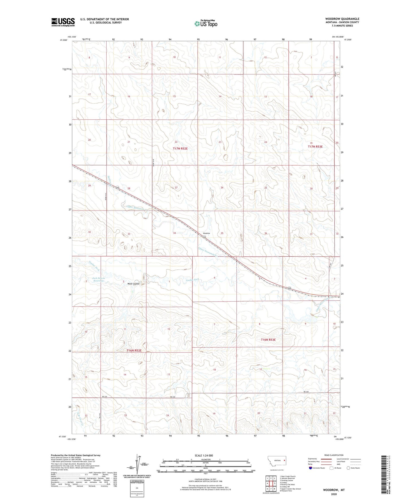
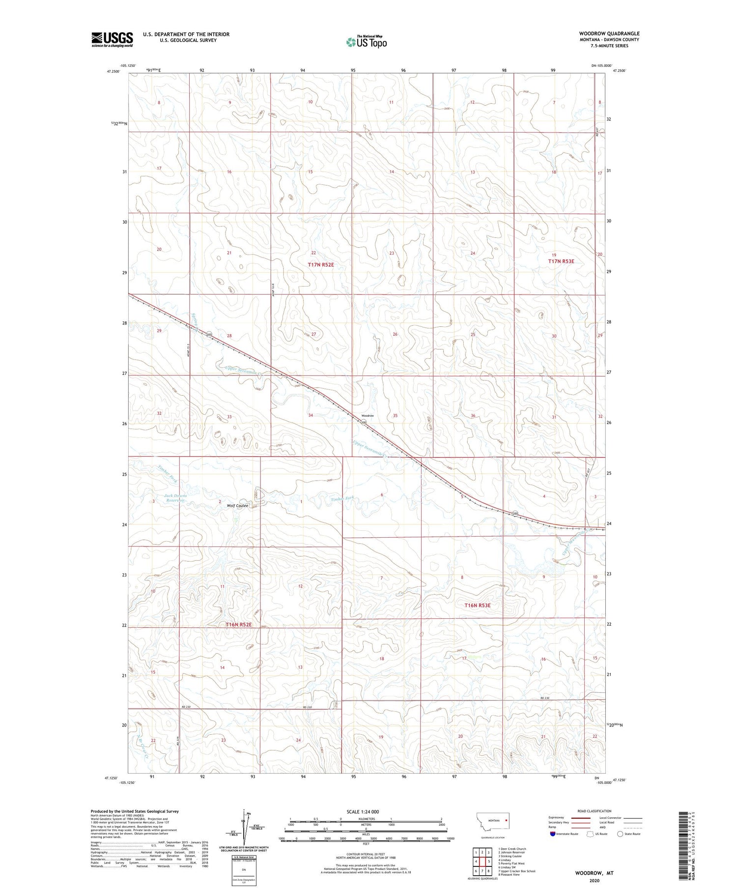
2020 topographic map quadrangle Woodrow in the state of Montana. Scale: 1:24000. Based on the newly updated USGS 7.5' US Topo map series, this map is in the following counties: Dawson. The map contains contour data, water features, and other items you are used to seeing on USGS maps, but also has updated roads and other features. This is the next generation of topographic maps. Printed on high-quality waterproof paper with UV fade-resistant inks.
Quads adjacent to this one:
West: Lindsay
Northwest: Deer Creek Church
North: Johnson Reservoir
Northeast: Stinking Coulee
East: Poverty Flat West
Southeast: Pleasant View
South: Upper Cracker Box School
Southwest: Lindsay SW
Contains the following named places: 16N52E13DAB_01 Well, 16N53E03CBD_01 Well, 16N53E20ADD_01 Well, 17N52E20ADDD01 Well, 17N52E25DCA_01 Well, 17N53E18BCD_01 Well, 28N52E09CDDC01 Well, Deer Creek Dam, Deer Creek Reservoir, Dunham School, Hohensee School, Jack Downs Dam, Jack Downs Reservoir, Lone Tree School, Malkuch Reservoir, Spring Creek, Timber Dam, Timber Fork, White Star School, Wolf Coulee, Wolff Dam, Wolff Reservoir, Woodrow, Woodrow Post Office