MyTopo
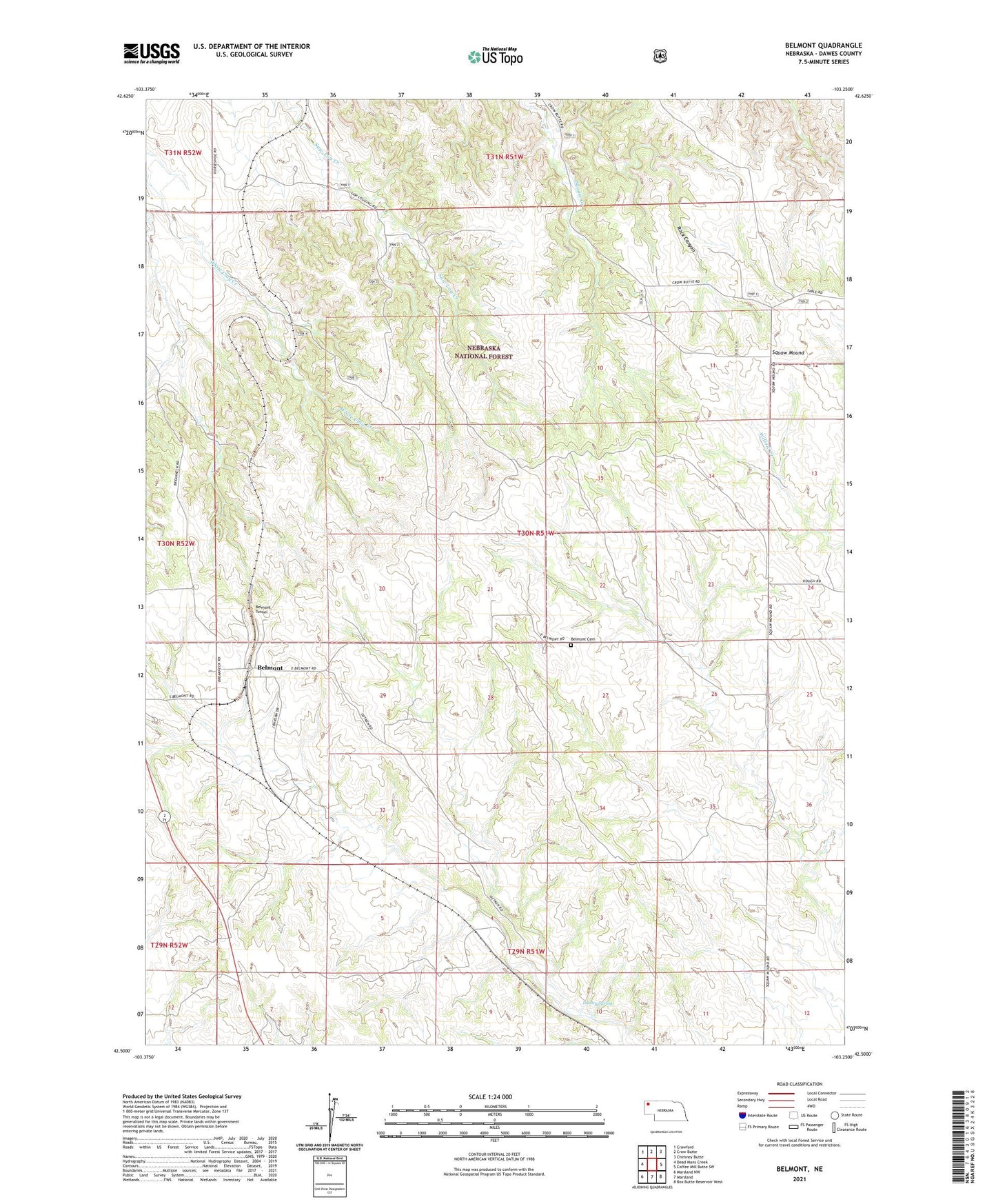
Belmont Nebraska US Topo Map
Couldn't load pickup availability
Also explore the Belmont Forest Service Topo of this same quad for updated USFS data
2023 topographic map quadrangle Belmont in the state of Nebraska. Scale: 1:24000. Based on the newly updated USGS 7.5' US Topo map series, this map is in the following counties: Dawes. The map contains contour data, water features, and other items you are used to seeing on USGS maps, but also has updated roads and other features. This is the next generation of topographic maps. Printed on high-quality waterproof paper with UV fade-resistant inks.
Quads adjacent to this one:
West: Dead Mans Creek
Northwest: Crawford
North: Crow Butte
Northeast: Chimney Butte
East: Coffee Mill Butte SW
Southeast: Box Butte Reservoir West
South: Marsland
Southwest: Marsland NW
This map covers the same area as the classic USGS quad with code o42103e3.
Contains the following named places: Belmont, Belmont Cemetery, Belmont Elementary School, Belmont Post Office, Belmont Tunnel, Dooley Spring, Election Precinct 10, Rock Canyon, Squaw Mound