MyTopo
Chimney Butte Nebraska US Topo Map
Couldn't load pickup availability
Also explore the Chimney Butte Forest Service Topo of this same quad for updated USFS data
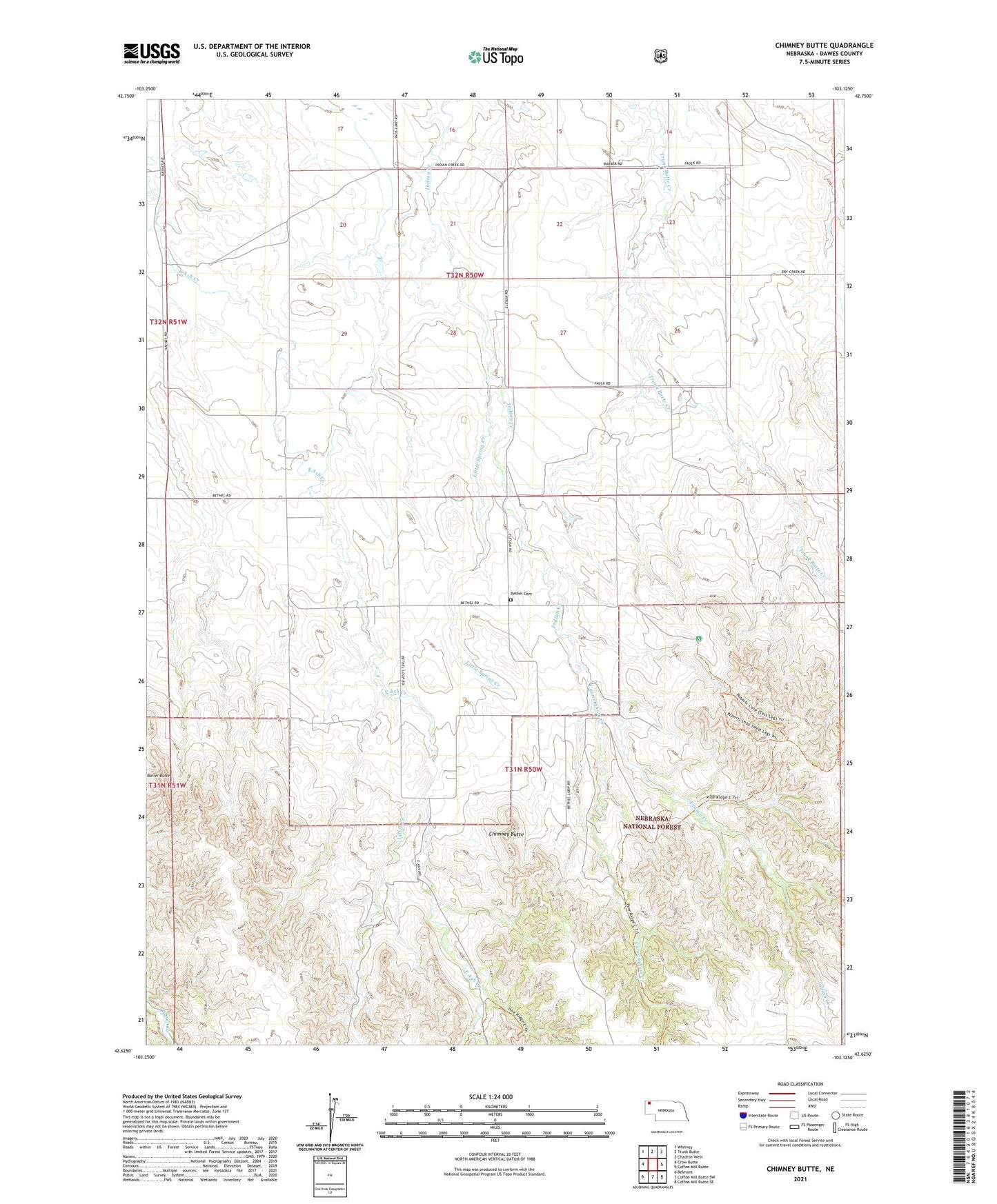
2021 topographic map quadrangle Chimney Butte in the state of Nebraska. Scale: 1:24000. Based on the newly updated USGS 7.5' US Topo map series, this map is in the following counties: Dawes. The map contains contour data, water features, and other items you are used to seeing on USGS maps, but also has updated roads and other features. This is the next generation of topographic maps. Printed on high-quality waterproof paper with UV fade-resistant inks.
Quads adjacent to this one:
West: Crow Butte
Northwest: Whitney
North: Trunk Butte
Northeast: Chadron West
East: Coffee Mill Butte
Southeast: Coffee Mill Butte SE
South: Coffee Mill Butte SW
Southwest: Belmont
This map covers the same area as the classic USGS quad with code o42103f2.
Contains the following named places: Barrel Butte, Bethel Cemetery, Bethel Church, Chimney Butte, Cunningham Creek, Dawes County, Election Precinct 09, Fast Ash Trailhead, Hard Scrabble School, Little Creek, Little Spring Creek, Roberts Trail, Roberts Trailhead, Roberts Trailhead Campground, Rock Butte Loop, West Ash Creek