
MyTopo
Bradshaw Nebraska US Topo Map
Couldn't load pickup availability
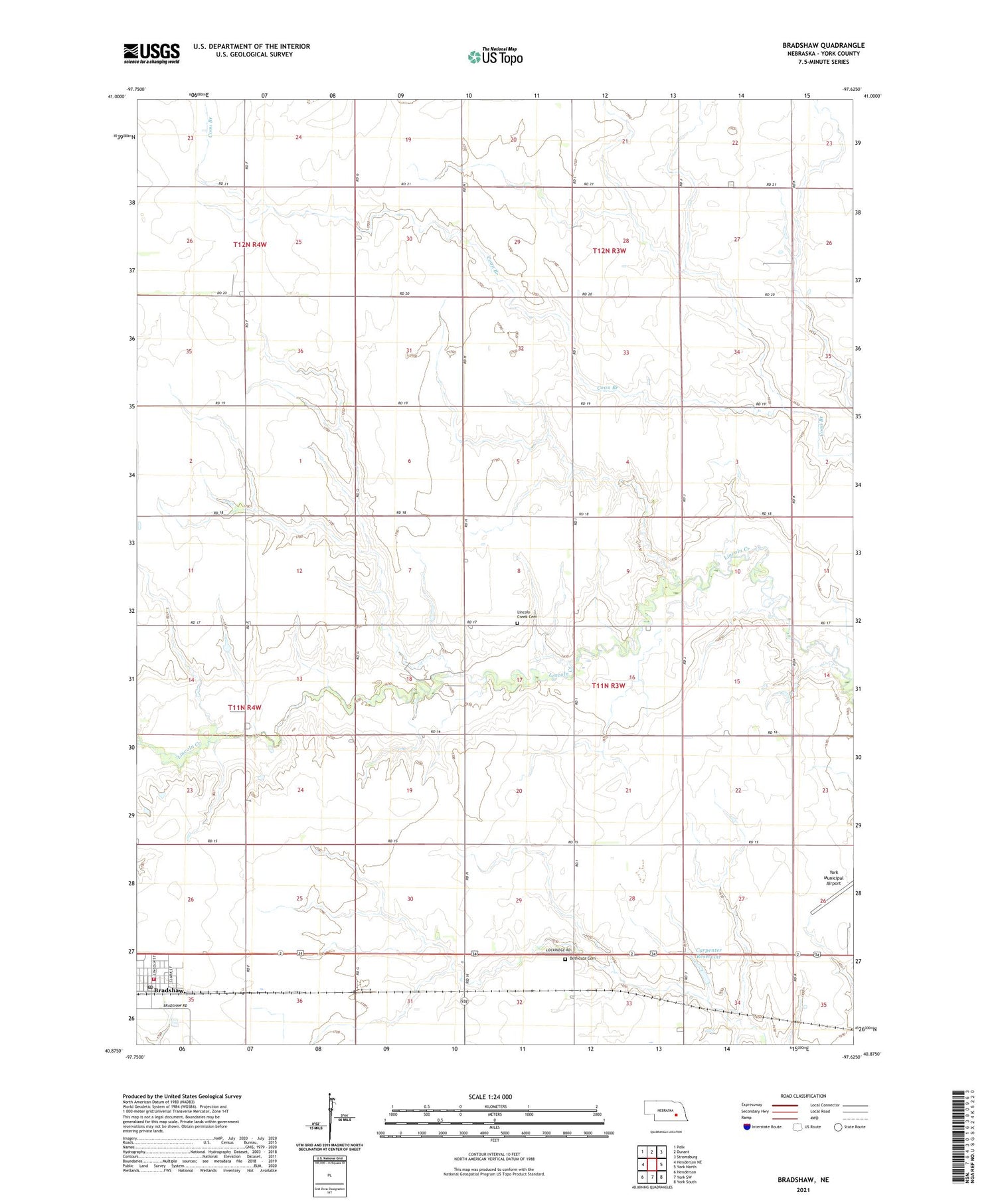
2021 topographic map quadrangle Bradshaw in the state of Nebraska. Scale: 1:24000. Based on the newly updated USGS 7.5' US Topo map series, this map is in the following counties: York. The map contains contour data, water features, and other items you are used to seeing on USGS maps, but also has updated roads and other features. This is the next generation of topographic maps. Printed on high-quality waterproof paper with UV fade-resistant inks.
Quads adjacent to this one:
West: Henderson NE
Northwest: Polk
North: Durant
Northeast: Stromsburg
East: York North
Southeast: York South
South: York SW
Southwest: Henderson
This map covers the same area as the classic USGS quad with code o40097h6.
Contains the following named places: Bethesda Cemetery, Bradshaw, Bradshaw Post Office, Bradshaw Public Schools, Bradshaw Rural Fire Department, Bradshaw United Methodist Church, Cargill Incorporated Elevator, Carpenter Dam, Carpenter Reservoir, Farmers Co-op Association Elevator, Lincoln Creek Cemetery, Lockridge Election Precinct, Township of Lockridge, Village of Bradshaw


