MyTopo
Craig Nebraska US Topo Map
Couldn't load pickup availability
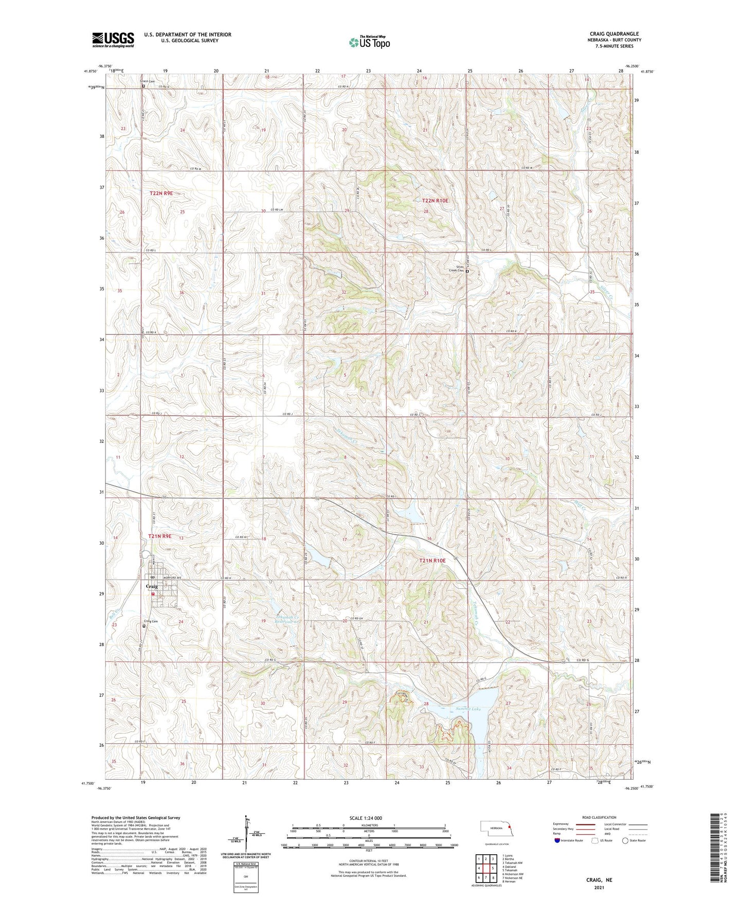
2021 topographic map quadrangle Craig in the state of Nebraska. Scale: 1:24000. Based on the newly updated USGS 7.5' US Topo map series, this map is in the following counties: Burt. The map contains contour data, water features, and other items you are used to seeing on USGS maps, but also has updated roads and other features. This is the next generation of topographic maps. Printed on high-quality waterproof paper with UV fade-resistant inks.
Quads adjacent to this one:
West: Oakland
Northwest: Lyons
North: Bertha
Northeast: Tekamah NW
East: Tekamah
Southeast: Herman
South: Nickerson NE
Southwest: Nickerson NW
Contains the following named places: Agland Co-op Elevator, Burt County, Craig, Craig Cemetery, Craig Fire and Rescue Association, Craig Post Office, Craig Public Library, Grace Cemetery, Methodist Church, Presbyterian Church, Silver Creek Cemetery, Summit Lake, Summit Lake Trail, Summit Reservoir State Recreation Area, Tekamah Creek Dam 6-1, Tekamah Creek Reservoir 6-1, Tekamah-Mud Creek Dam 5-A, Tekamah-Mud Creek Reservoir 5-A, Township of Silver Creek, Township of Summit, Village of Craig