MyTopo
Bertha Nebraska US Topo Map
Couldn't load pickup availability
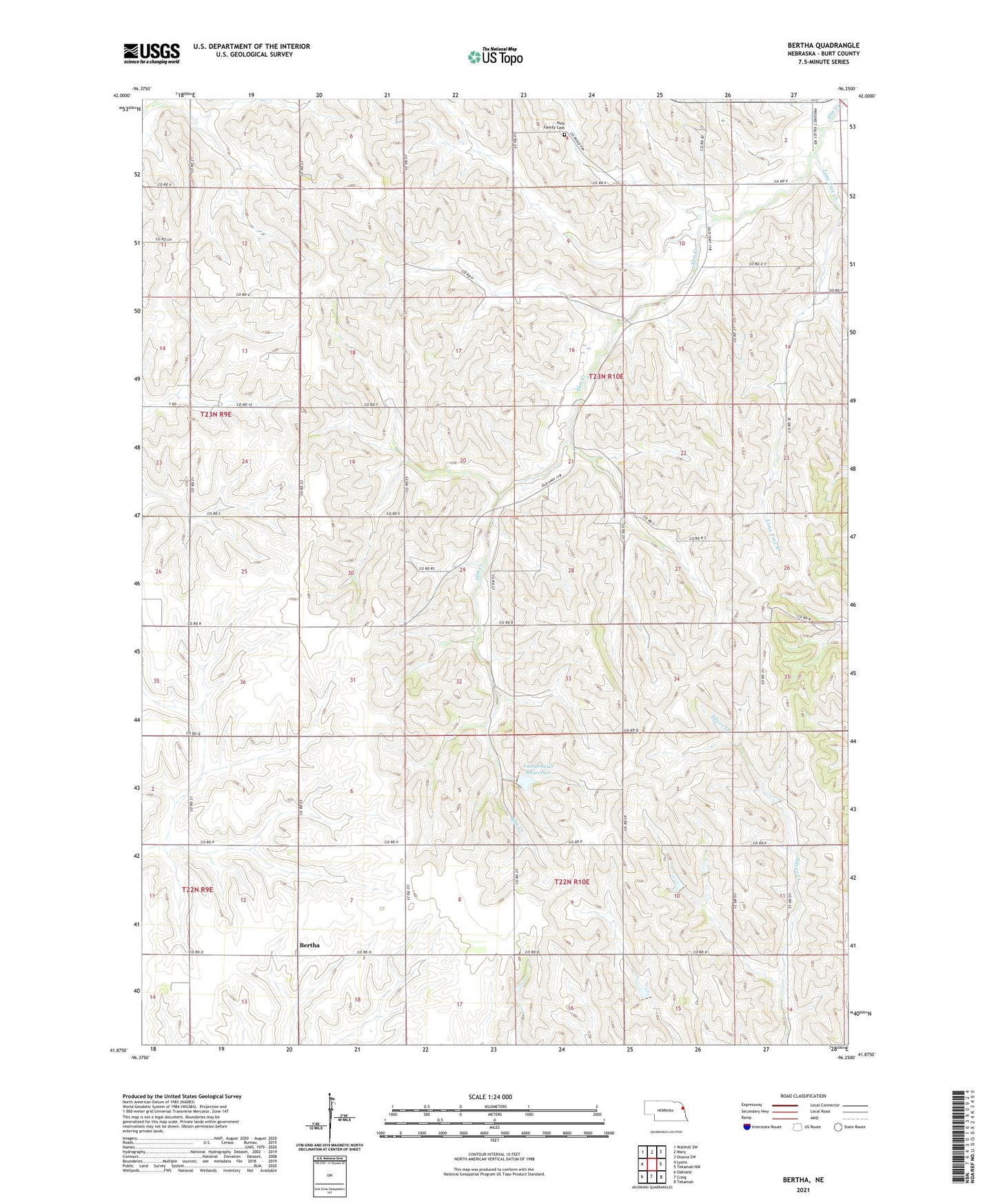
2021 topographic map quadrangle Bertha in the state of Nebraska. Scale: 1:24000. Based on the newly updated USGS 7.5' US Topo map series, this map is in the following counties: Burt. The map contains contour data, water features, and other items you are used to seeing on USGS maps, but also has updated roads and other features. This is the next generation of topographic maps. Printed on high-quality waterproof paper with UV fade-resistant inks.
Quads adjacent to this one:
West: Lyons
Northwest: Walthill SW
North: Macy
Northeast: Onawa SW
East: Tekamah NW
Southeast: Tekamah
South: Craig
Southwest: Oakland
This map covers the same area as the classic USGS quad with code o41096h3.
Contains the following named places: Bertha, Bertha Post Office, Bertha School, Divide Center Church, Divide Center School, Drummond Dam, Drummond Reservoir, Elm Creek Public School, Holy Family Cemetery, Langemeier Dam, Langemeier Reservoir, Lone Tree Creek, Tekamah Church, Township of Decatur, ZIP Code: 68020