MyTopo
Tekamah NW Nebraska US Topo Map
Couldn't load pickup availability
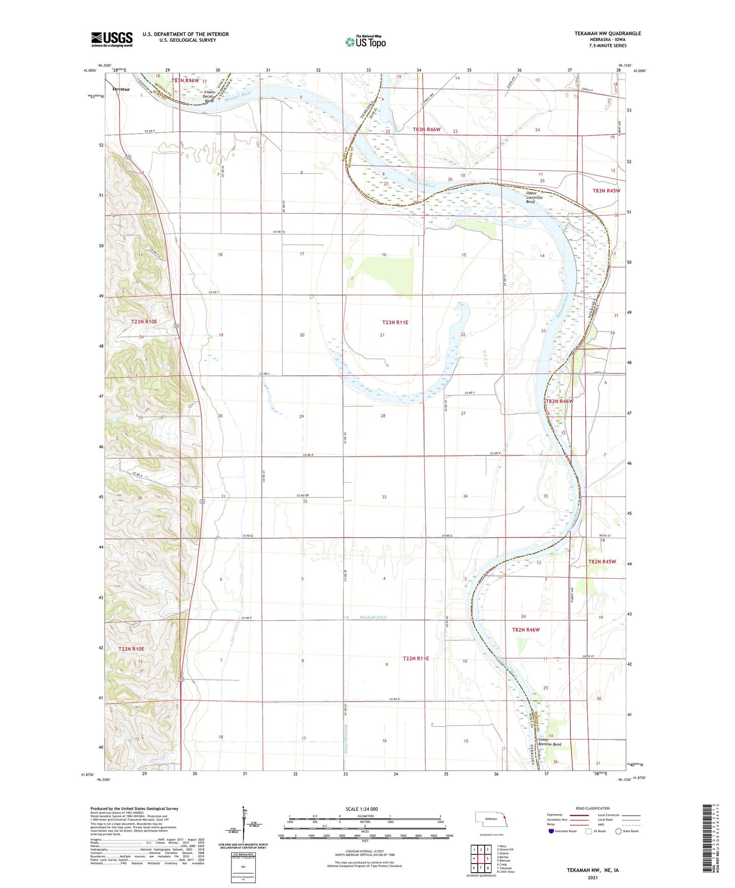
2021 topographic map quadrangle Tekamah NW in the states of Nebraska, Iowa. Scale: 1:24000. Based on the newly updated USGS 7.5' US Topo map series, this map is in the following counties: Burt, Monona. The map contains contour data, water features, and other items you are used to seeing on USGS maps, but also has updated roads and other features. This is the next generation of topographic maps. Printed on high-quality waterproof paper with UV fade-resistant inks.
Quads adjacent to this one:
West: Bertha
Northwest: Macy
North: Onawa SW
Northeast: Onawa
East: Blencoe
Southeast: Little Sioux
South: Tekamah
Southwest: Craig
This map covers the same area as the classic USGS quad with code o41096h2.
Contains the following named places: Central Bluff Post Office, Huff Access County Park, Lake Quinnebaugh, Louisville Bend Wildlife Area, Lower Blencoe Bend, Lower Decatur Bend, Major Ditch, Riverside, Riverside Church, Riverside Post Office, Riverside School, Township of Quinnebaugh, Upper Louisville Bend, Wychoff Ditch