MyTopo
Du Bois Nebraska US Topo Map
Couldn't load pickup availability
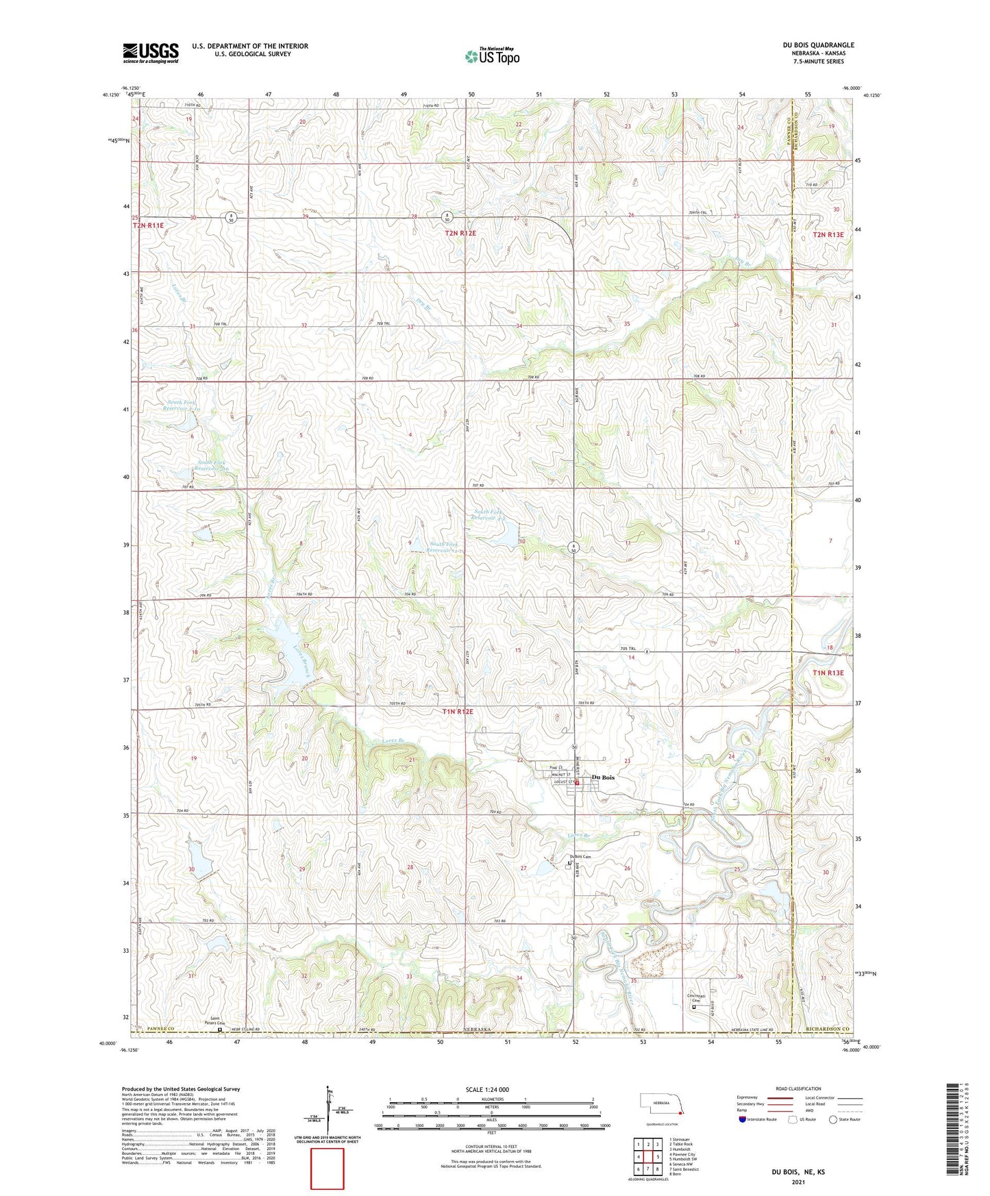
2021 topographic map quadrangle Du Bois in the state of Nebraska. Scale: 1:24000. Based on the newly updated USGS 7.5' US Topo map series, this map is in the following counties: Pawnee, Richardson, Nemaha. The map contains contour data, water features, and other items you are used to seeing on USGS maps, but also has updated roads and other features. This is the next generation of topographic maps. Printed on high-quality waterproof paper with UV fade-resistant inks.
Quads adjacent to this one:
West: Pawnee City
Northwest: Steinauer
North: Table Rock
Northeast: Humboldt
East: Humboldt SW
Southeast: Bern
South: Saint Benedict
Southwest: Seneca NW
This map covers the same area as the classic USGS quad with code o40096a1.
Contains the following named places: Avondale School, Cincinnati Cemetery, Du Bois, Du Bois Post Office, Du Bois Volunteer Fire Department, DuBois, DuBois Cemetery, DuBois Grain Elevator, Dubois Quarry, East Star School, Election Precinct 1 Pawnee Number 1, Election Precinct 6 South Fork, Hunzeker School, Kennedy School, Lores Branch, Lores Branch State Wildlife Management Area, Negro Branch, Pleasant Valley Post Office, Prairie Knoll State Wildlife Management Area, Saint Johns Church, Saint Peters Cemetery, Sheridan School, South Fork Dam 11-1, South Fork Dam 2-10, South Fork Dam 2-6, South Fork Dam 4-2, South Fork Reservoir 11-1, South Fork Reservoir 2-10, South Fork Reservoir 2-6, South Fork Reservoir 4-2, Township of South Fork, Village of Du Bois, ZIP Code: 68345