MyTopo
Enola Nebraska US Topo Map
Couldn't load pickup availability
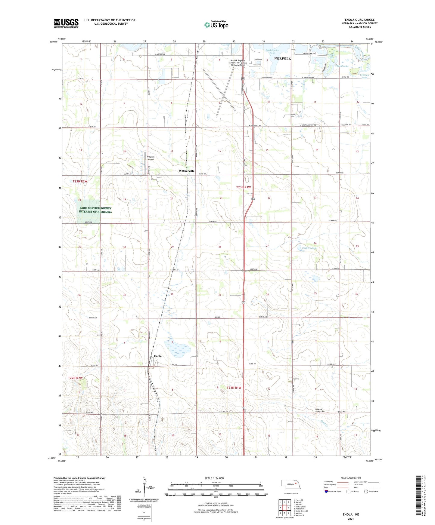
2021 topographic map quadrangle Enola in the state of Nebraska. Scale: 1:24000. Based on the newly updated USGS 7.5' US Topo map series, this map is in the following counties: Madison. The map contains contour data, water features, and other items you are used to seeing on USGS maps, but also has updated roads and other features. This is the next generation of topographic maps. Printed on high-quality waterproof paper with UV fade-resistant inks.
Quads adjacent to this one:
West: Battle Creek
Northwest: Pierce SE
North: Norfolk
Northeast: Hoskins
East: Madison NE
Southeast: Madison SE
South: Madison
Southwest: Battle Creek SE
This map covers the same area as the classic USGS quad with code o41097h4.
Contains the following named places: Andys Lake, Central Hatchery, Enola, Enola Post Office, Fairplay Golf Course, Lehman Lake, Medelmans Lake, Norfolk Election Precinct, Norfolk Regional Airport/Karl Stefan Memorial Field, Pleasant Valley Cemetery, Pleasant Valley Community Hall, Pofahl Lake, Reiche School, Simpson Airport, Stange School, Tannehill School, Township of Battle Creek, Township of Enola, Township of Fairview, Township of Warnerville, Ueckers Lake, Warnerville, Warnerville Election Precinct, Warnerville Post Office, Warnerville Public School