MyTopo
Pierce SE Nebraska US Topo Map
Couldn't load pickup availability
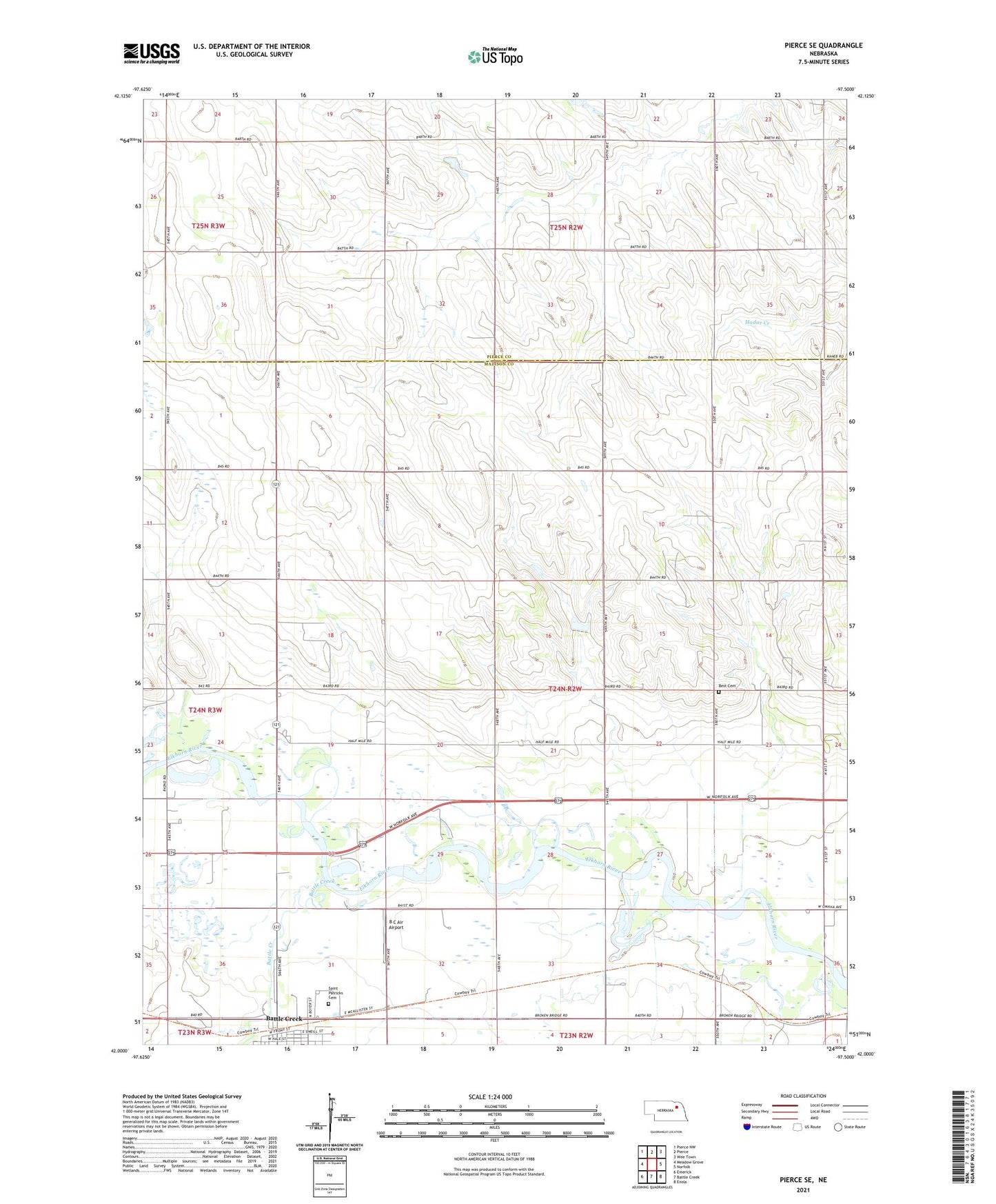
2021 topographic map quadrangle Pierce SE in the state of Nebraska. Scale: 1:24000. Based on the newly updated USGS 7.5' US Topo map series, this map is in the following counties: Madison, Pierce. The map contains contour data, water features, and other items you are used to seeing on USGS maps, but also has updated roads and other features. This is the next generation of topographic maps. Printed on high-quality waterproof paper with UV fade-resistant inks.
Quads adjacent to this one:
West: Meadow Grove
Northwest: Pierce NW
North: Pierce
Northeast: Wee Town
East: Norfolk
Southeast: Enola
South: Battle Creek
Southwest: Emerick
This map covers the same area as the classic USGS quad with code o42097a5.
Contains the following named places: B C Air Airport, Battle Creek, Battle Creek Farmers Co-op Elevator, Battle Creek Historical Marker, Best Cemetery, Born School, Dederman School, Dry Hollow School, Kellys Country Club, Kent, Ray School, Saint Patricks Catholic Church, Saint Patricks Cemetery, School Number 6, School Number 82, Township of Valley, Valley Election Precinct