MyTopo
Norfolk Nebraska US Topo Map
Couldn't load pickup availability
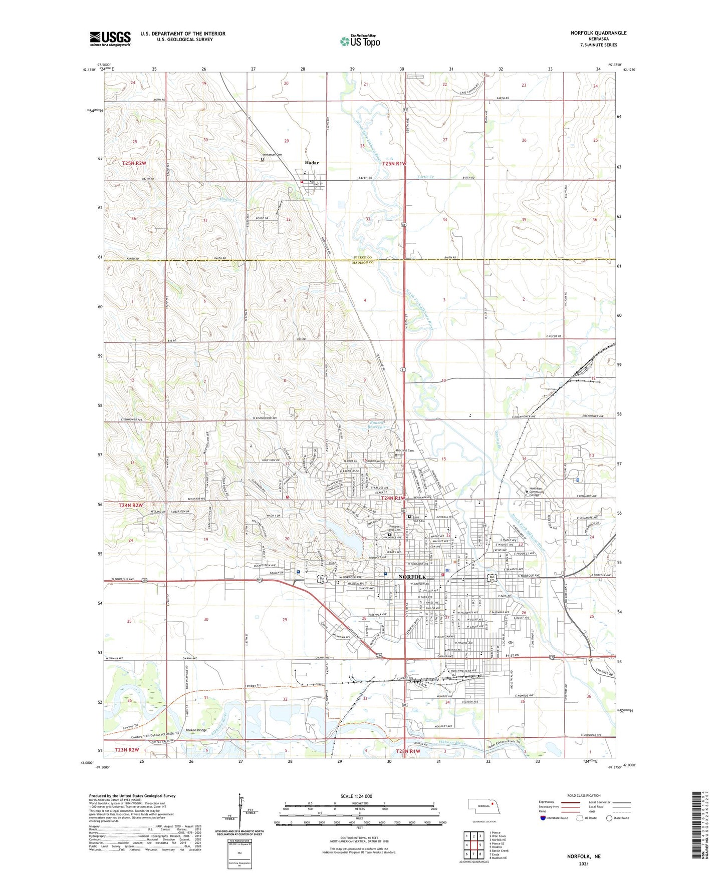
2021 topographic map quadrangle Norfolk in the state of Nebraska. Scale: 1:24000. Based on the newly updated USGS 7.5' US Topo map series, this map is in the following counties: Madison, Pierce. The map contains contour data, water features, and other items you are used to seeing on USGS maps, but also has updated roads and other features. This is the next generation of topographic maps. Printed on high-quality waterproof paper with UV fade-resistant inks.
Quads adjacent to this one:
West: Pierce SE
Northwest: Pierce
North: Wee Town
Northeast: Norfolk NE
East: Hoskins
Southeast: Madison NE
South: Enola
Southwest: Battle Creek
This map covers the same area as the classic USGS quad with code o42097a4.
Contains the following named places: Ag/Allied Health Building, Authier-Miller Eyecare Center, Belair Elementary School, Broken Bridge, Central Park, Christ is King Community Church, Christ Lutheran Church, Christ Lutheran School, Christ the Servant Lutheran Church, City of Norfolk, City Square Park, Community Bible Church, Corporation Gulch, Covenant Life Christian Center, Cox Activities Center, Diesel Technology Building, Eldorado Hills Golf Course, Electronics Building, Elkhorn State Wildlife Management Area, Elkhorn Valley Museum and Research Center, Faith Christian Fellowship, Faith Hope and Love Church, Faith Regional Health Services - East Campus, Faith Regional Health Services - West Campus, Family and Cosmetic Dentistry, Family Dental Care Center, Farmers Grain and Livestock Company Elevator, First Baptist Church, First Christian Church, First Congregational United Church of Christ, First Presbyterian Church, First United Methodist Church, Glen Park Church of Christ, Grace by Faith Evangelical Lutheran Church, Grace Lutheran Church, Grant Elementary School, Hadar, Hadar Creek, Hadar Post Office, Hadar Public School, Hadar Volunteer Fire Department, Heartland Independent Baptist Church, Heritage of Bel Air, Hillcrest Cemetery, Immanuel Cemetery, Immanuel Lutheran Church, Jefferson Elementary School, Jehovahs Witnesses Kingdom Hall, Johnson Park, Josephs College of Beauty, Keystone Christian Academy, Lake Norfolk, Liberty Bell Park, Lifelong Learning Center, Lincoln Elementary School, Lutheran High Northeast School, Mackels Mobile Home Court, Maclay Building, Maintenance Building, Memorial Park, Mill Bridge Dam, Monroe School, Mount Olive Lutheran Church, Multi-Purpose Dam 1-A, Nebraska Christian College, Nebraska State Highway Patrol Troop B, New Hope of Norfolk Church of the Nazarene, New Life Church of God, Nord Park, Norfolk, Norfolk Ambulance Service, Norfolk Baptist Church, Norfolk Catholic School, Norfolk Chateau, Norfolk Christian College Library, Norfolk Dental Group Center, Norfolk Eye Clinic, Norfolk Family Dental Center, Norfolk Family Medicine PC, Norfolk Fire Division - Station 1, Norfolk Fire Division Station 2, Norfolk High School, Norfolk Junior College, Norfolk Junior High School, Norfolk Medical Group, Norfolk Middle School, Norfolk Montessori School, Norfolk Nursing Center, Norfolk Police Division, Norfolk Post Office, Norfolk Public Library, Norfolk Regional Center, Norfolk Restoration Branch of the Church of Jesus Christ, Norfolk-Riverfront Trail, Norfolk-Skyview Trail, Norfork Country Club, Northeast Community College, Northeast Community College Library, Northern Heights Baptist Church, Northern Hills Elementary School, Northwest Specialty Clinic, Our Savior Lutheran Church, Park Avenue Christian School, Prospect Hill Cemetery, Raasch Dam, Raasch Reservoir, Sacred Heart Catholic Church, Sacred Heart Elementary School, Saint Johns Lutheran Church, Saint Josephs Nursing Home, Saint Marys Catholic Church, Saint Paul Cemetery, Saint Pauls Lutheran Church, Saint Pauls Lutheran School, Salvation Army Church, Santa Marianta Clinic, School Number 1, School Number 43, Science Building, Seventh Day Adventist Church, Shepherd of Peace Lutheran Church, Shipping and Receiving Warehouse, Skyview Lake, Skyview Medical Center, Skyview Park, South Norfolk, Spring Branch, Student Center, Sunny Meadow School, Sunset Plaza, Ta-Ha-Zouka Park, Tahazouka Park Campground, The Church of Jesus Christ of Latter Day Saints, Township of Norfolk, Trinity Episcopal Church, Turtle Creek, Utility Line Building, Verges Park, Verges Park Historical Marker, Victory Road Assembly of God Church, Victory Road Evangelical Free Church, Village of Hadar, Washington Elementary School, Weller Building, Westridge United Methodist Church, Westside Elementary School, Winter Public School, WJAG-AM (Norfolk), Workman Chiropractic Clinic, ZIP Code: 68701


