MyTopo
Inland Nebraska US Topo Map
Couldn't load pickup availability
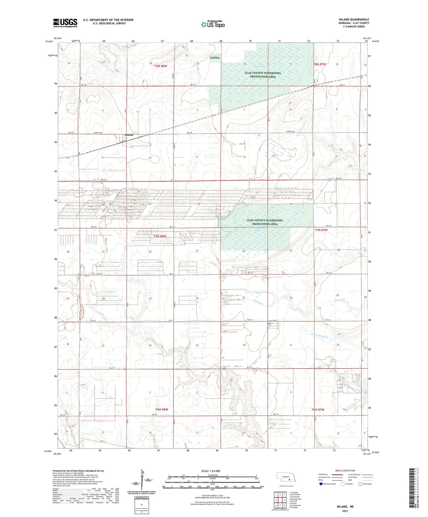
2021 topographic map quadrangle Inland in the state of Nebraska. Scale: 1:24000. Based on the newly updated USGS 7.5' US Topo map series, this map is in the following counties: Clay. The map contains contour data, water features, and other items you are used to seeing on USGS maps, but also has updated roads and other features. This is the next generation of topographic maps. Printed on high-quality waterproof paper with UV fade-resistant inks.
Quads adjacent to this one:
West: Hastings East
Northwest: Trumbull
North: Harvard NW
Northeast: Harvard NE
East: Harvard
Southeast: Fairfield
South: Fairfield NW
Southwest: Pauline
This map covers the same area as the classic USGS quad with code o40098e2.
Contains the following named places: Clay County Waterfowl Production Area, Harvard Federal Waterfowl Production Area, Harvard Marsh, Hastings Naval Ammunition Depot, Inland, Inland Census Designated Place, Inland Post Office - CPO, Inland Public School, McMurtrey Marsh, Township of Inland, United States Naval Ammunition Depot, Zion Cemetery, ZIP Code: 68954