MyTopo
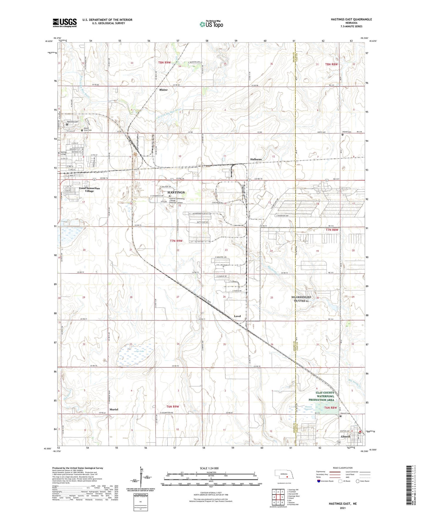
Hastings East Nebraska US Topo Map
Couldn't load pickup availability
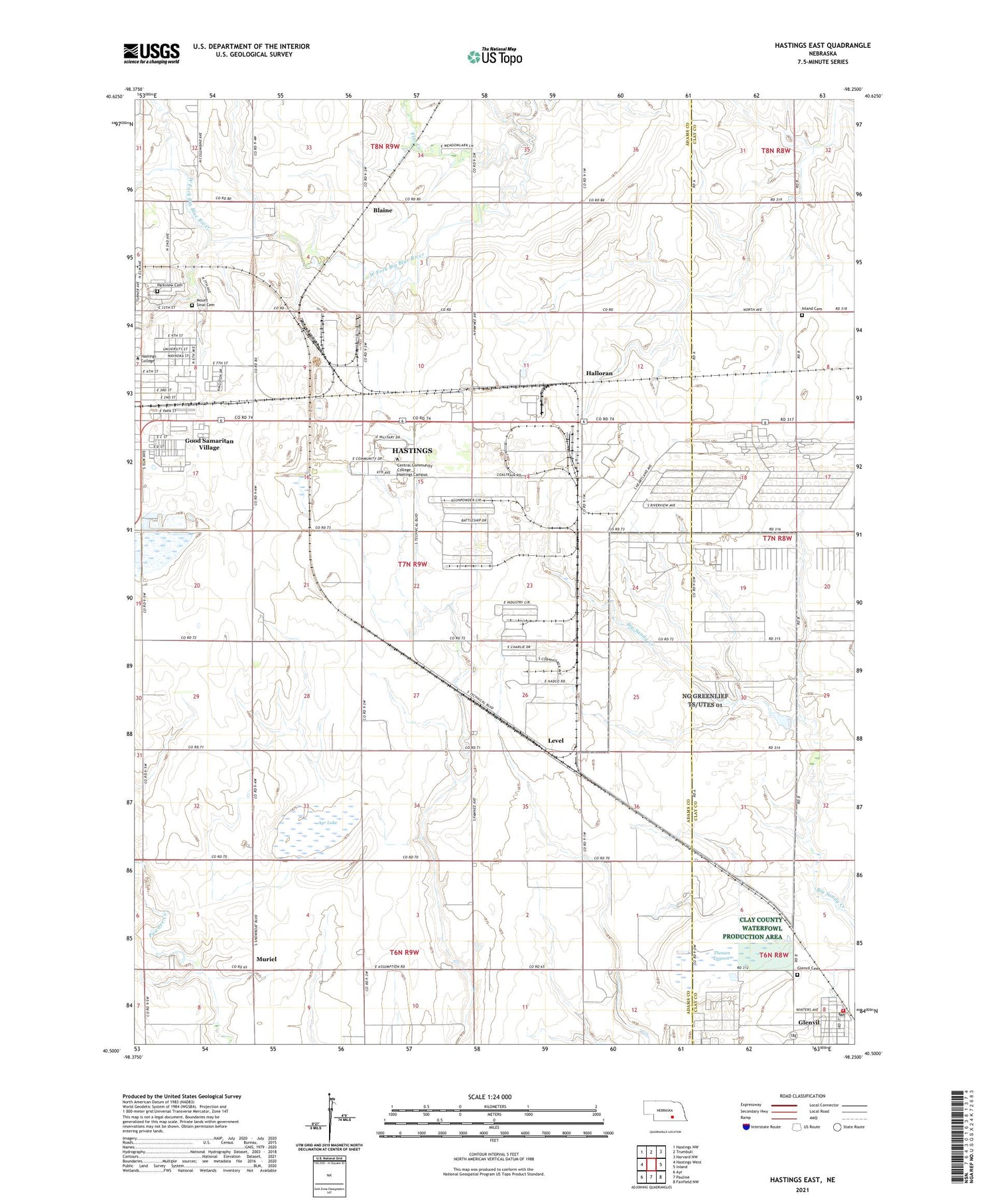
2021 topographic map quadrangle Hastings East in the state of Nebraska. Scale: 1:24000. Based on the newly updated USGS 7.5' US Topo map series, this map is in the following counties: Adams, Clay. The map contains contour data, water features, and other items you are used to seeing on USGS maps, but also has updated roads and other features. This is the next generation of topographic maps. Printed on high-quality waterproof paper with UV fade-resistant inks.
Quads adjacent to this one:
West: Hastings West
Northwest: Hastings NW
North: Trumbull
Northeast: Harvard NW
East: Inland
Southeast: Fairfield NW
South: Pauline
Southwest: Ayr
This map covers the same area as the classic USGS quad with code o40098e3.
Contains the following named places: A H Jones Stadium, Adams Administration Building, Altman Hall, Alumni Conference Center, Art Center, Ayr Lake, Babcock Hall, Batchelder General Services, Blaine, Boone Residence Hall, Brick Yard, Bronc Hall, Calvin H French Memorial Chapel, Campus Center, Central Community College - Hastings Campus, Clay Residence Hall, Colfax Residence Hall, College Shop, Dawson Multipurpose Complex, DLD State Recreation Area, DLD State Wayside Area Campground, Elks Lodge and Country Club, Flat Creek, Furnas Building, Gausman Building, Glenvil, Glenvil Ambulance Service, Glenvil Cemetery, Glenvil Post Office, Glenvil Volunteer Fire Department, Good Samaritan Village, Gosper Building, Gray Center for Communication Arts, Hall Cafeteria, Halloran, Hamilton Building, Hastings Air Force Station, Hastings College, Hayes M Fuhr Hall of Music, Hazelrigg Student Union, Howard Building, Hurley-McDonald Hall, Immanuel Lutheran Church, Industrial Park East, Inland Cemetery, KCNT-FM (Hastings), Kearney Building, KEZH-FM (Hastings), KICS-AM (Hastings), Kiewit Physical Education Building, Kingswood Plaza, Level, McCormick Hall, McKay House, Meadowbrook Golf Club, Merrick Building, Mount Sinai Cemetery, Muriel, Naval Ammunition Depot Historical Marker, Nebraska Military Historical Society Museum, Nuckolls Building, Nuckolls Library, Observatory, Parkview Cemetery, Perkins Library, Phelps Building, Physical Fitness Facility, Platte Building, Polk Building, Rader Park, Roman L Hruska United States Meat Animal Research Center, Saint Pauls Church, School Number 15, Scott Studio Theatre, Sherman Building, Steinhart Hall of Science, Taylor Hall, Theesen Federal Waterfowl Production Area, Theesen Lagoon, Township of Blaine, Valley Residence Hall, Village of Glenvil, Webster Building, Weyer Hall, Wilson Mathemetics and Computer Science Center, ZIP Code: 68901


