MyTopo
Saint Paul SW Nebraska US Topo Map
Couldn't load pickup availability
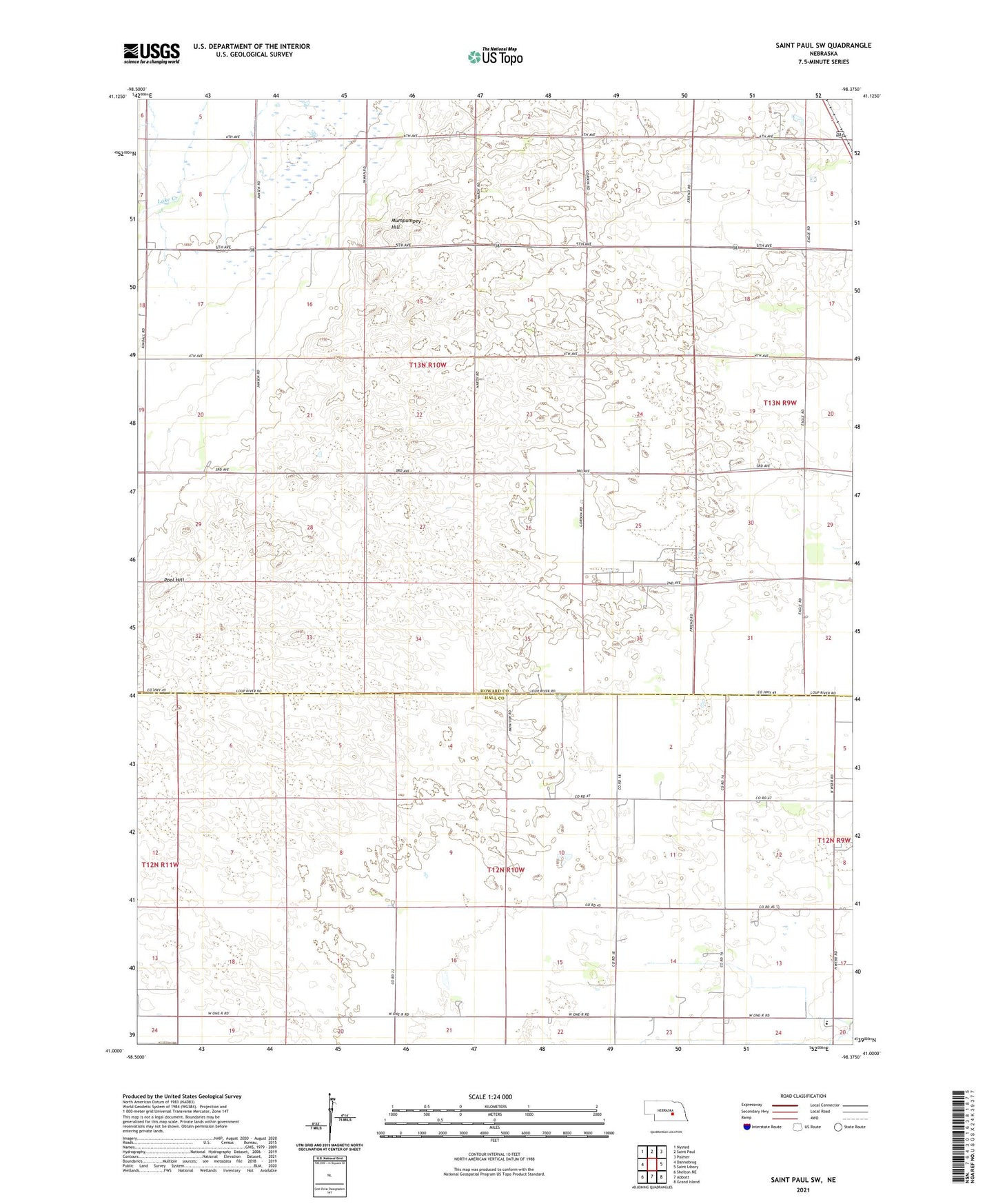
2021 topographic map quadrangle Saint Paul SW in the state of Nebraska. Scale: 1:24000. Based on the newly updated USGS 7.5' US Topo map series, this map is in the following counties: Howard, Hall. The map contains contour data, water features, and other items you are used to seeing on USGS maps, but also has updated roads and other features. This is the next generation of topographic maps. Printed on high-quality waterproof paper with UV fade-resistant inks.
Quads adjacent to this one:
West: Dannebrog
Northwest: Nysted
North: Saint Paul
Northeast: Palmer
East: Saint Libory
Southeast: Grand Island
South: Abbott
Southwest: Shelton NE
This map covers the same area as the classic USGS quad with code o41098a4.
Contains the following named places: Big Slough, Mamot Feed Lots, Mumpumpey Hill, One-R Elementary School, Pool Hill, School Number 16, School Number 51, School Number 55, Township of Prairie Creek