MyTopo
Stanton NE Nebraska US Topo Map
Couldn't load pickup availability
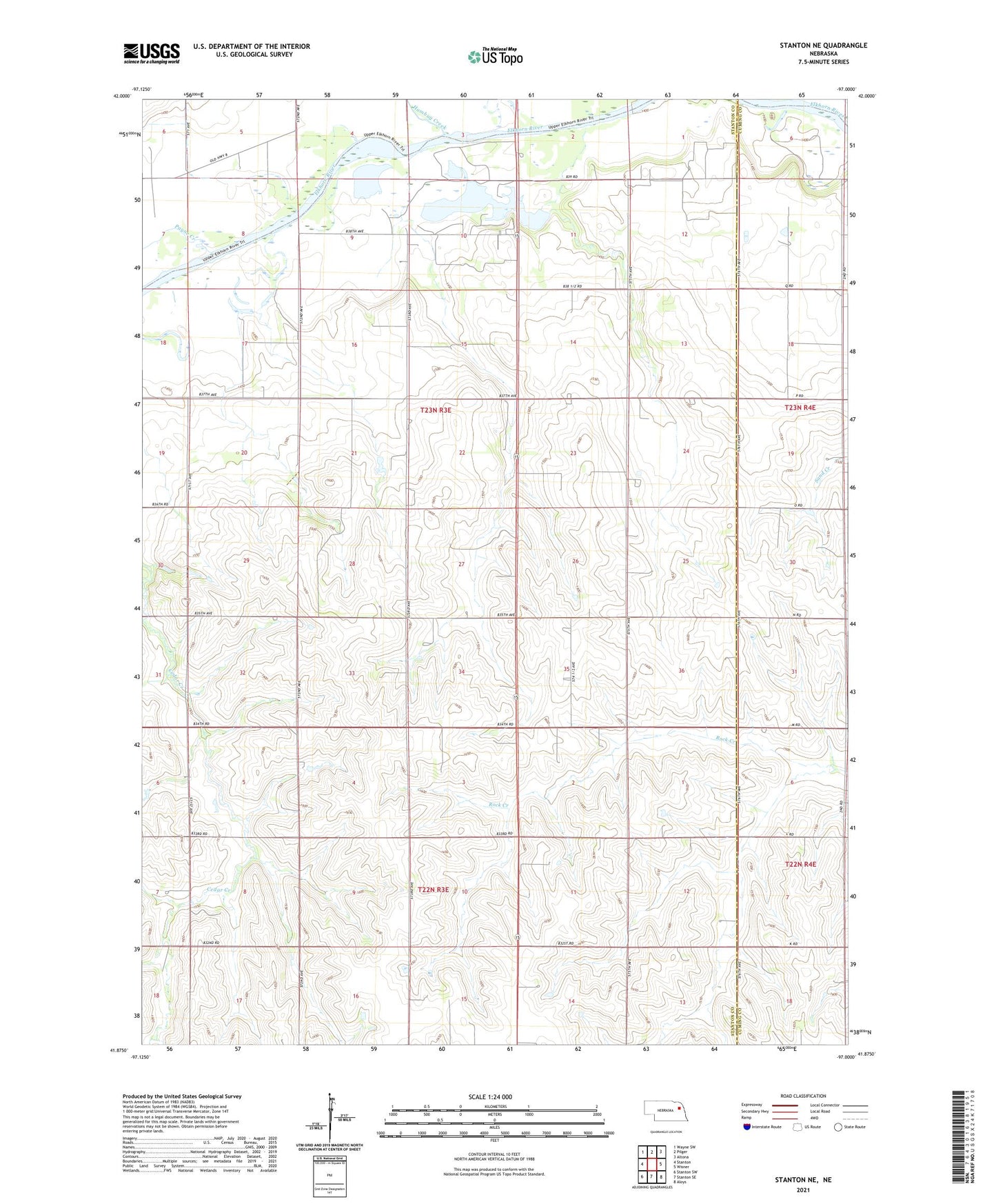
2021 topographic map quadrangle Stanton NE in the state of Nebraska. Scale: 1:24000. Based on the newly updated USGS 7.5' US Topo map series, this map is in the following counties: Stanton, Cuming. The map contains contour data, water features, and other items you are used to seeing on USGS maps, but also has updated roads and other features. This is the next generation of topographic maps. Printed on high-quality waterproof paper with UV fade-resistant inks.
Quads adjacent to this one:
West: Stanton
Northwest: Wayne SW
North: Pilger
Northeast: Altona
East: Wisner
Southeast: Aloys
South: Stanton SE
Southwest: Stanton SW
Contains the following named places: Clinton School, Humbug Creek, Kingsburg Election Precinct, Payne Creek, Red Fox Lake, Red Fox State Wildlife Management Area, Saint Matthews Church, School Number 46, School Number 47, Sherer School, Stanton County District 028 School, Township of Haymow, Township of Kingsburg, ZIP Code: 68768