MyTopo
Wayne SW Nebraska US Topo Map
Couldn't load pickup availability
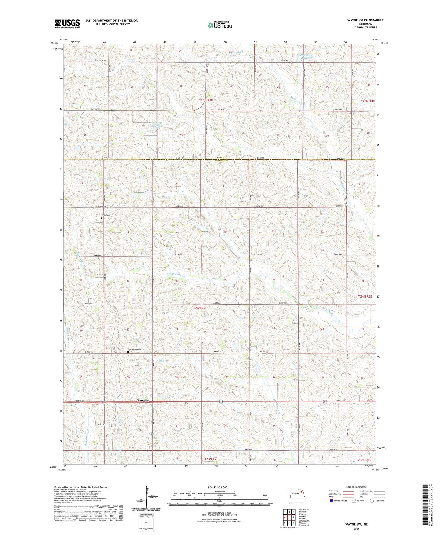
2021 topographic map quadrangle Wayne SW in the state of Nebraska. Scale: 1:24000. Based on the newly updated USGS 7.5' US Topo map series, this map is in the following counties: Stanton, Wayne. The map contains contour data, water features, and other items you are used to seeing on USGS maps, but also has updated roads and other features. This is the next generation of topographic maps. Printed on high-quality waterproof paper with UV fade-resistant inks.
Quads adjacent to this one:
West: Hoskins
Northwest: Norfolk NE
North: Winside
Northeast: Wayne
East: Pilger
Southeast: Stanton NE
South: Stanton
Southwest: Madison NE
This map covers the same area as the classic USGS quad with code o42097a2.
Contains the following named places: Bega Cemetery, Bega Public School, Bethlehem Cemetery, Brogren Dam, Brogren Reservoir, Dangberg Dam, Dangberg Reservoir, Dewey Election Precinct, School Number 12, School Number 13, School Number 23, Spurville, Township of Dewey