MyTopo
Thurston Nebraska US Topo Map
Couldn't load pickup availability
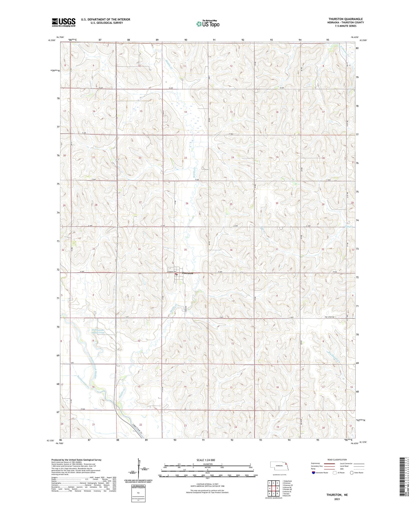
2021 topographic map quadrangle Thurston in the state of Nebraska. Scale: 1:24000. Based on the newly updated USGS 7.5' US Topo map series, this map is in the following counties: Thurston. The map contains contour data, water features, and other items you are used to seeing on USGS maps, but also has updated roads and other features. This is the next generation of topographic maps. Printed on high-quality waterproof paper with UV fade-resistant inks.
Quads adjacent to this one:
West: Altona NE
Northwest: Wakefield
North: Emerson
Northeast: Emerson SE
East: Pender NE
Southeast: Bancroft
South: Pender
Southwest: Altona SE
This map covers the same area as the classic USGS quad with code o42096b6.
Contains the following named places: Middle Creek, Northeast Cooperative Elevator, Old Channel Logan Creek, Rattlesnake Creek, School Number 2, School Number 31, School Number 34, Thurston, Thurston Elementary School, Thurston Post Office, Thurston Volunteer Fire and Rescue, Township of Flournoy, Township of Pender, Township of Perry, Twin Creeks Golf Club, Village of Thurston, ZIP Code: 68062