MyTopo
Pender NE Nebraska US Topo Map
Couldn't load pickup availability
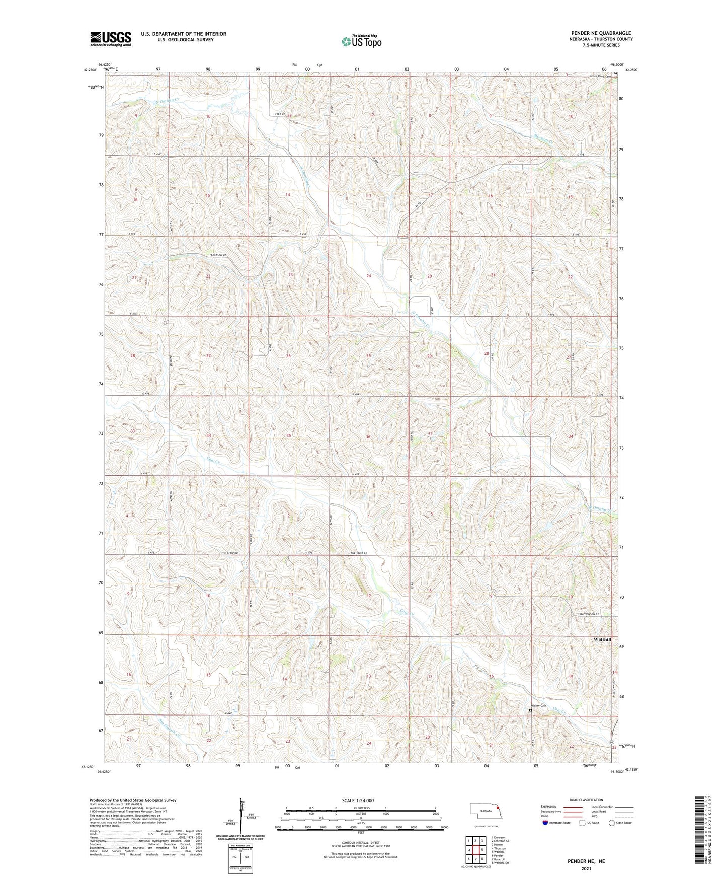
2021 topographic map quadrangle Pender NE in the state of Nebraska. Scale: 1:24000. Based on the newly updated USGS 7.5' US Topo map series, this map is in the following counties: Thurston. The map contains contour data, water features, and other items you are used to seeing on USGS maps, but also has updated roads and other features. This is the next generation of topographic maps. Printed on high-quality waterproof paper with UV fade-resistant inks.
Quads adjacent to this one:
West: Thurston
Northwest: Emerson
North: Emerson SE
Northeast: Homer
East: Walthill
Southeast: Walthill SW
South: Bancroft
Southwest: Pender
This map covers the same area as the classic USGS quad with code o42096b5.
Contains the following named places: Pilcher Cemetery, School Number 20, School Number 33, Thurston County, Township of Bryan, Township of Merry, Winnebago Reservation