MyTopo
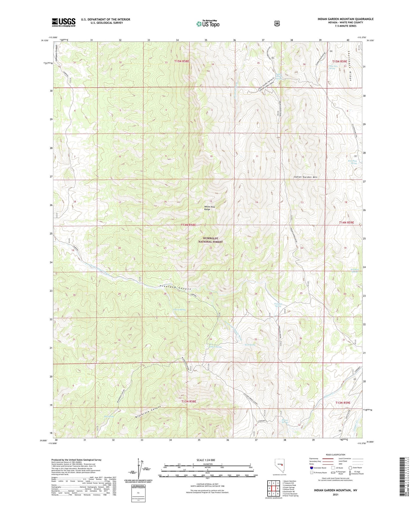
Indian Garden Mountain Nevada US Topo Map
Couldn't load pickup availability
Also explore the Indian Garden Mountain Forest Service Topo of this same quad for updated USFS data
2021 topographic map quadrangle Indian Garden Mountain in the state of Nevada. Scale: 1:24000. Based on the newly updated USGS 7.5' US Topo map series, this map is in the following counties: White Pine. The map contains contour data, water features, and other items you are used to seeing on USGS maps, but also has updated roads and other features. This is the next generation of topographic maps. Printed on high-quality waterproof paper with UV fade-resistant inks.
Quads adjacent to this one:
West: Green Springs
Northwest: Mount Hamilton
North: Treasure Hill
Northeast: Limestone Peak
East: Willow Grove
Southeast: Horse Track Spring
South: Currant Mountain
Southwest: Duckwater NE
This map covers the same area as the classic USGS quad with code o39115a4.
Contains the following named places: Bull Spring, Cherry Spring, Ellison Spring, Freeland Spring, Indian Garden Mountain, Indian Garden Spring, Red Rock Spring, Rock Spring, Sage Hen Spring, Shellback Ridge, Tom Plain Spring, White Pine Range Wilderness, Willow Spring