MyTopo
Elko East Nevada US Topo Map
Couldn't load pickup availability
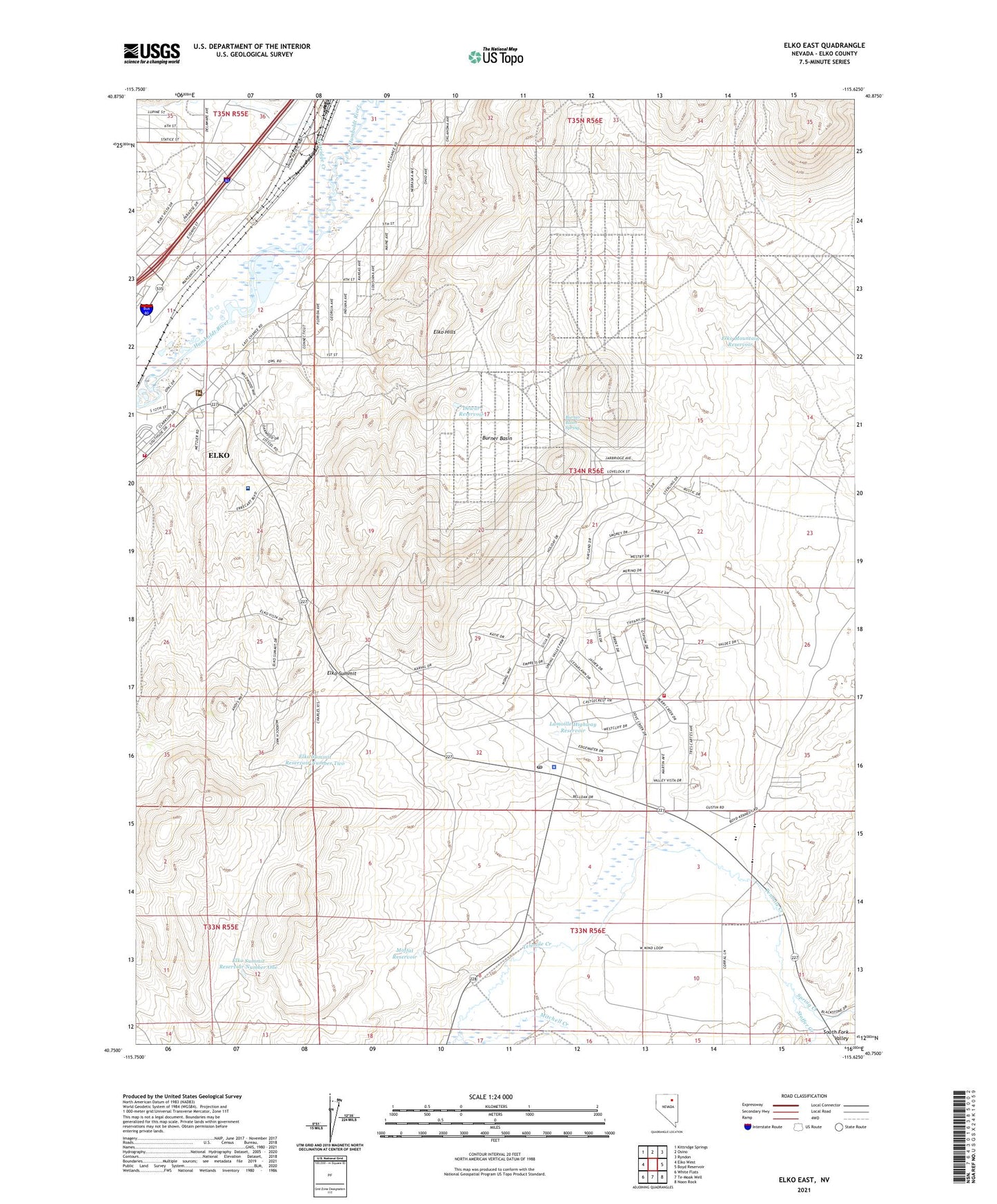
2021 topographic map quadrangle Elko East in the state of Nevada. Scale: 1:24000. Based on the newly updated USGS 7.5' US Topo map series, this map is in the following counties: Elko. The map contains contour data, water features, and other items you are used to seeing on USGS maps, but also has updated roads and other features. This is the next generation of topographic maps. Printed on high-quality waterproof paper with UV fade-resistant inks.
Quads adjacent to this one:
West: Elko West
Northwest: Kittridge Springs
North: Osino
Northeast: Ryndon
East: Boyd Reservoir
Southeast: Noon Rock
South: Te-Moak Well
Southwest: White Flats
This map covers the same area as the classic USGS quad with code o40115g6.
Contains the following named places: Burner Basin, Burner Basin Spring, Burner Basin Well, Dewar Reservoir, Elko Division, Elko Fire Department Station 3, Elko Hills, Elko Mining District, Elko Mountain Reservoir, Elko Shopping Plaza, Elko Summit, Elko Summit Reservoir Number One, Elko Summit Reservoir Number Two, Kittridge Creek, Lamoille Highway Reservoir, Landmark Letter, Moffat Reservoir, Nevada Highway Patrol Northern Command East, Northeastern Nevada Regional Hospital, Sage Elementary School, Spring Creek, Spring Creek Elementary School, Spring Creek High School, Spring Creek Middle School, Spring Creek Post Office, Spring Creek Volunteer Fire Department Station 3, Stoffer Creek, Sunrise Shopping Center